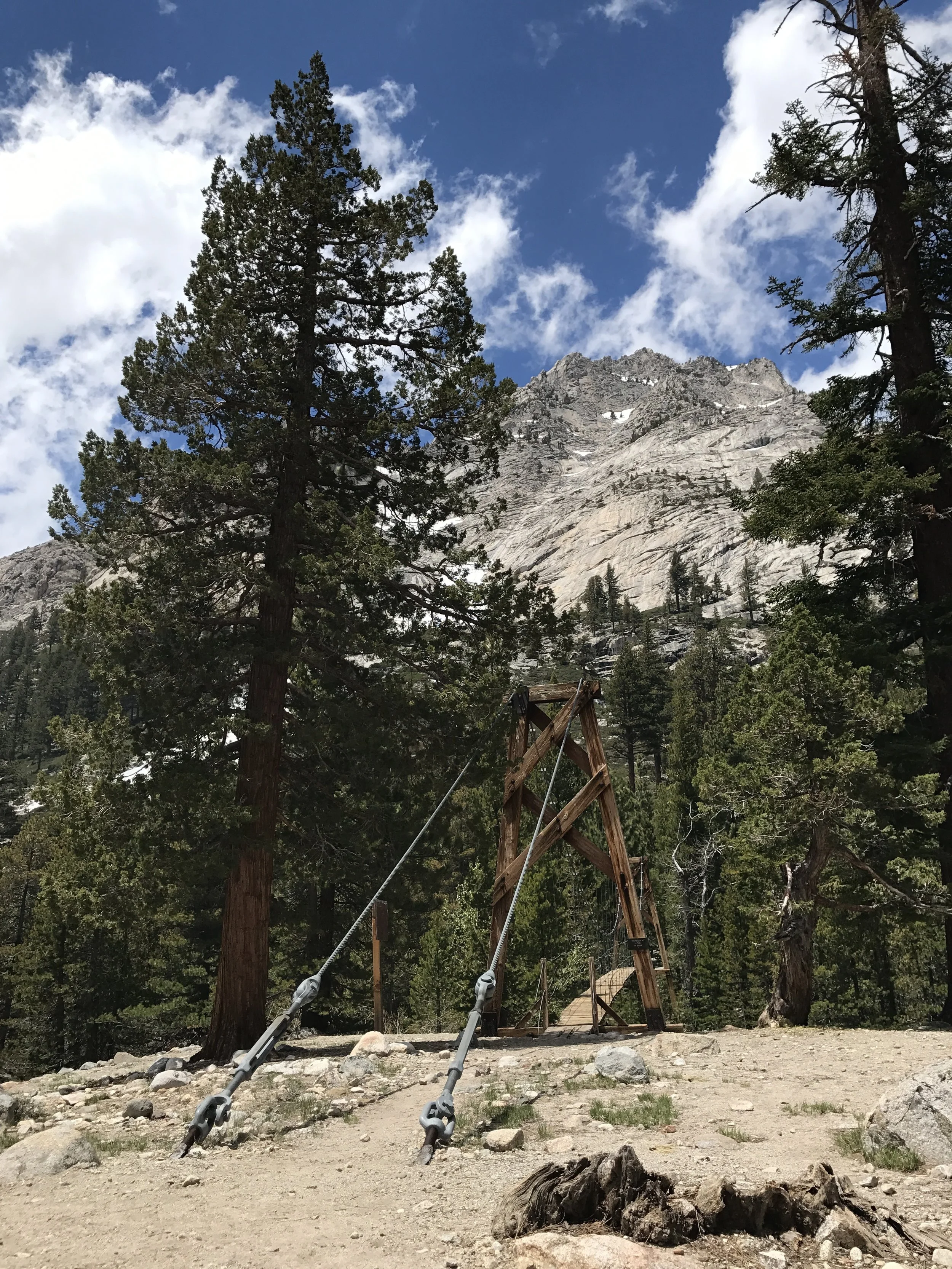
At this point, expected mileage, expected calorie intake and expected dry feet all went out the window! The strategy enacted was take on one pass per day, climbing it as early in the morning as possible while the snow was still relatively frozen, hike out the snowy miles to the north of the pass, then climb as high up the approach to the next one as possible to restart the process the next morning. Possible daily mileage was reduced by roughly half and typically required about twice the effort as what I had been used to. And of course, I started eating nearly twice what I had in the desert with the extra output.
So, I've broken this post up into each pass crossed beginning with Glen Pass.
June 11
Glen Pass - Elevation 11,926 feet
Sunrise over Glenn Pass the second of the high passes after Forester.

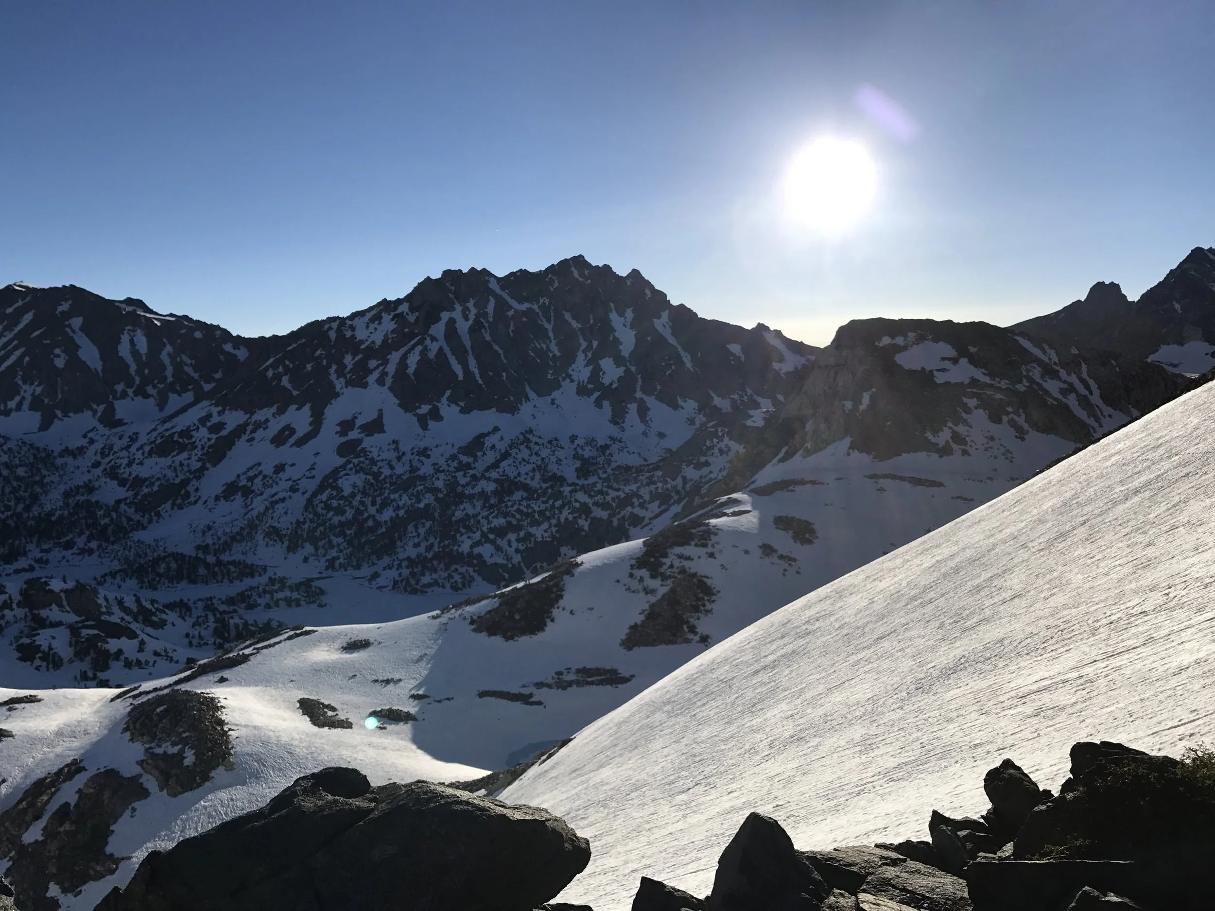
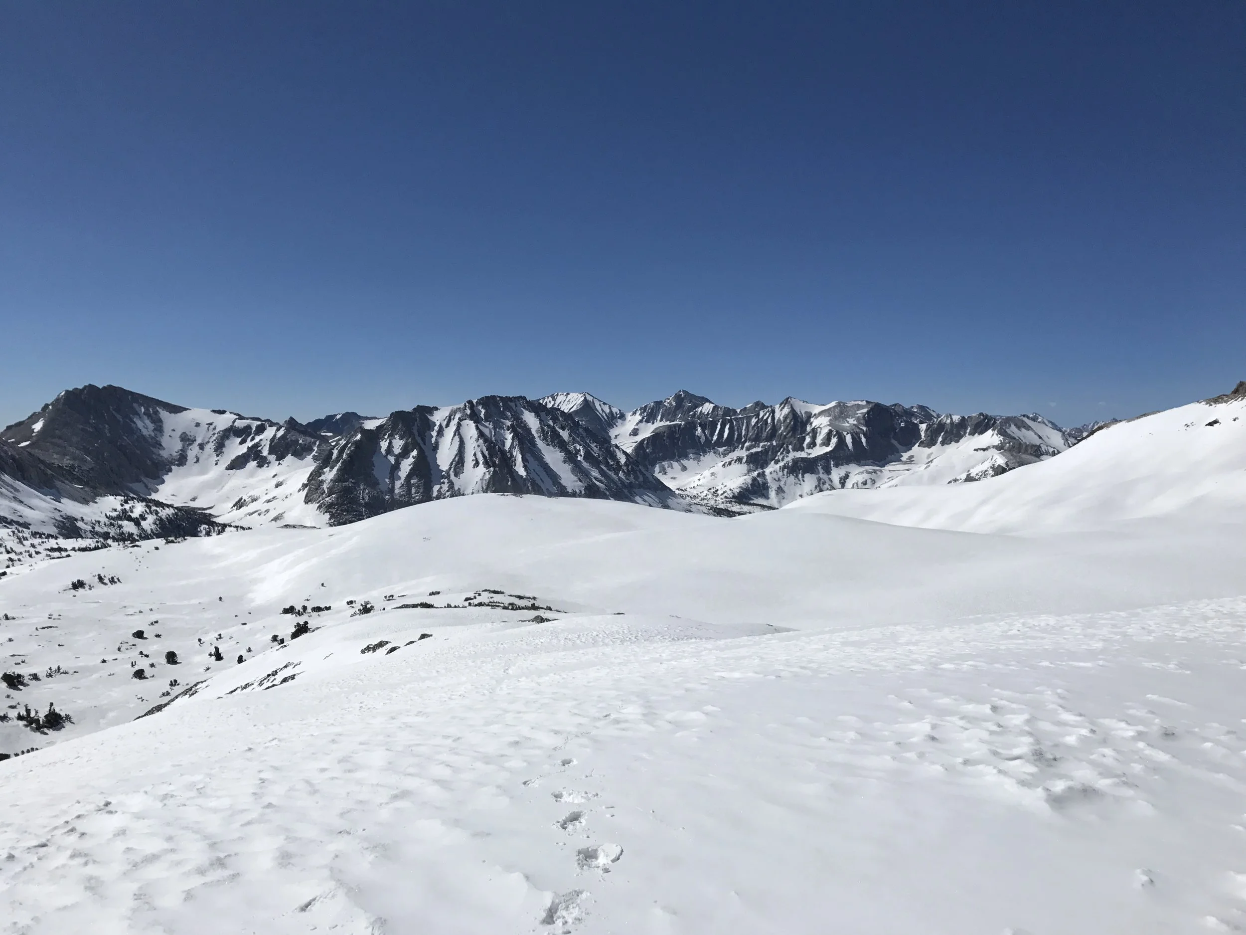
Looking back south from Glen Pass

Looking north from Glen Pass over miles of snow
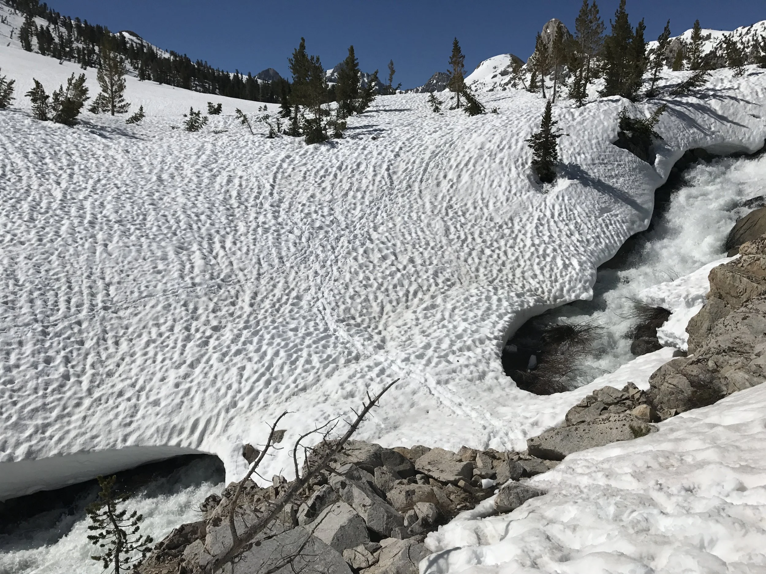
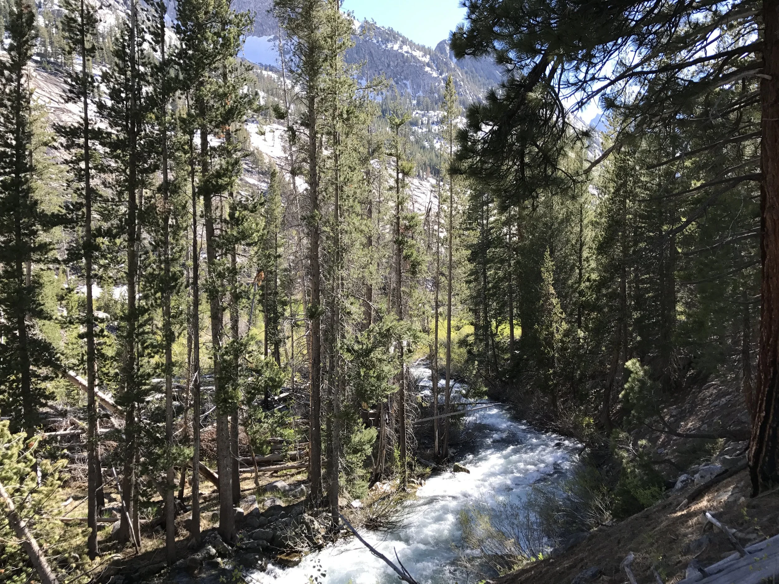
Rushing river with a snow bridge that might survive a couple of weeks more.
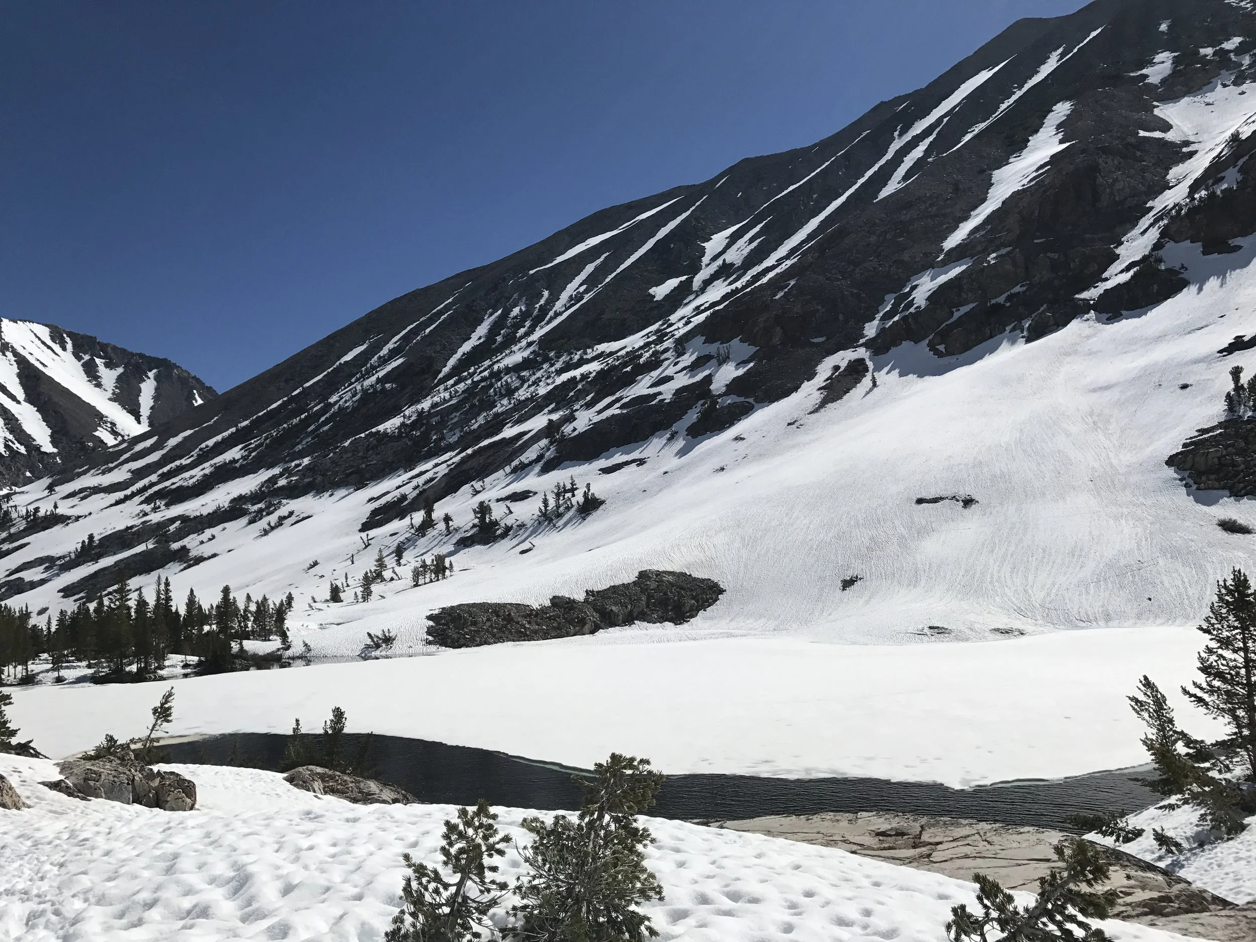
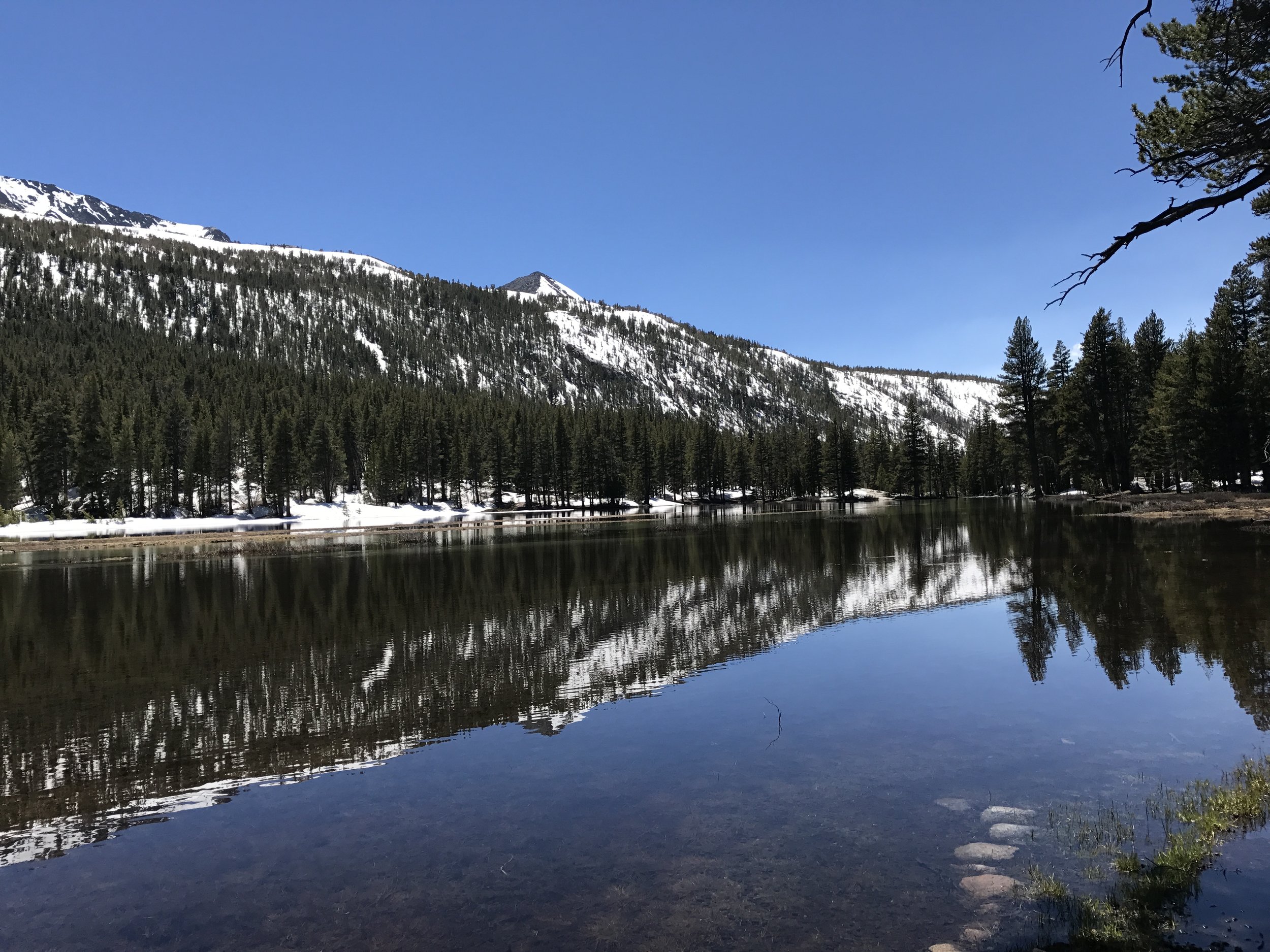
Rae Lakes

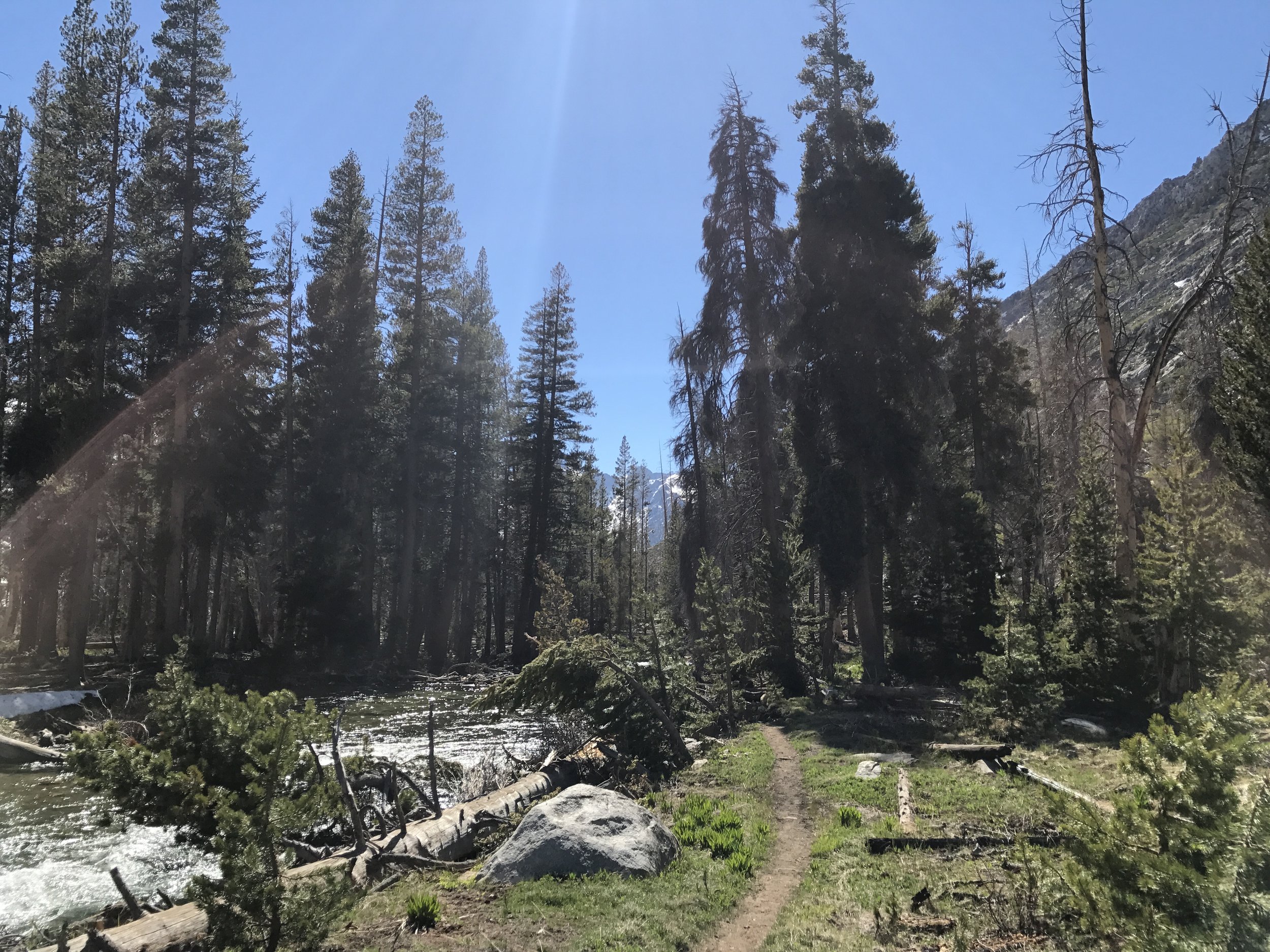
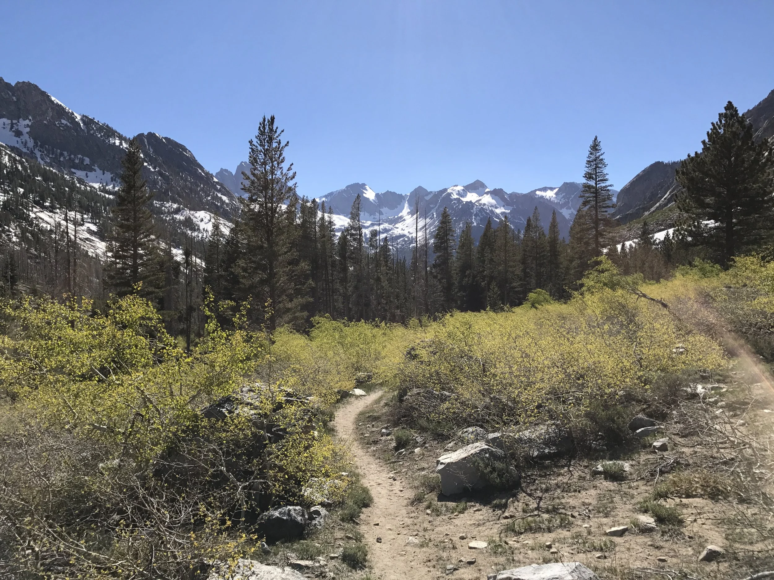
The lower portions of the trail between passes took me through some of the most beautiful scenery in Kings Canyon National Park's backcountry.
I didn't know it then but this would be the last century marker not buried in snow for 400 miles!
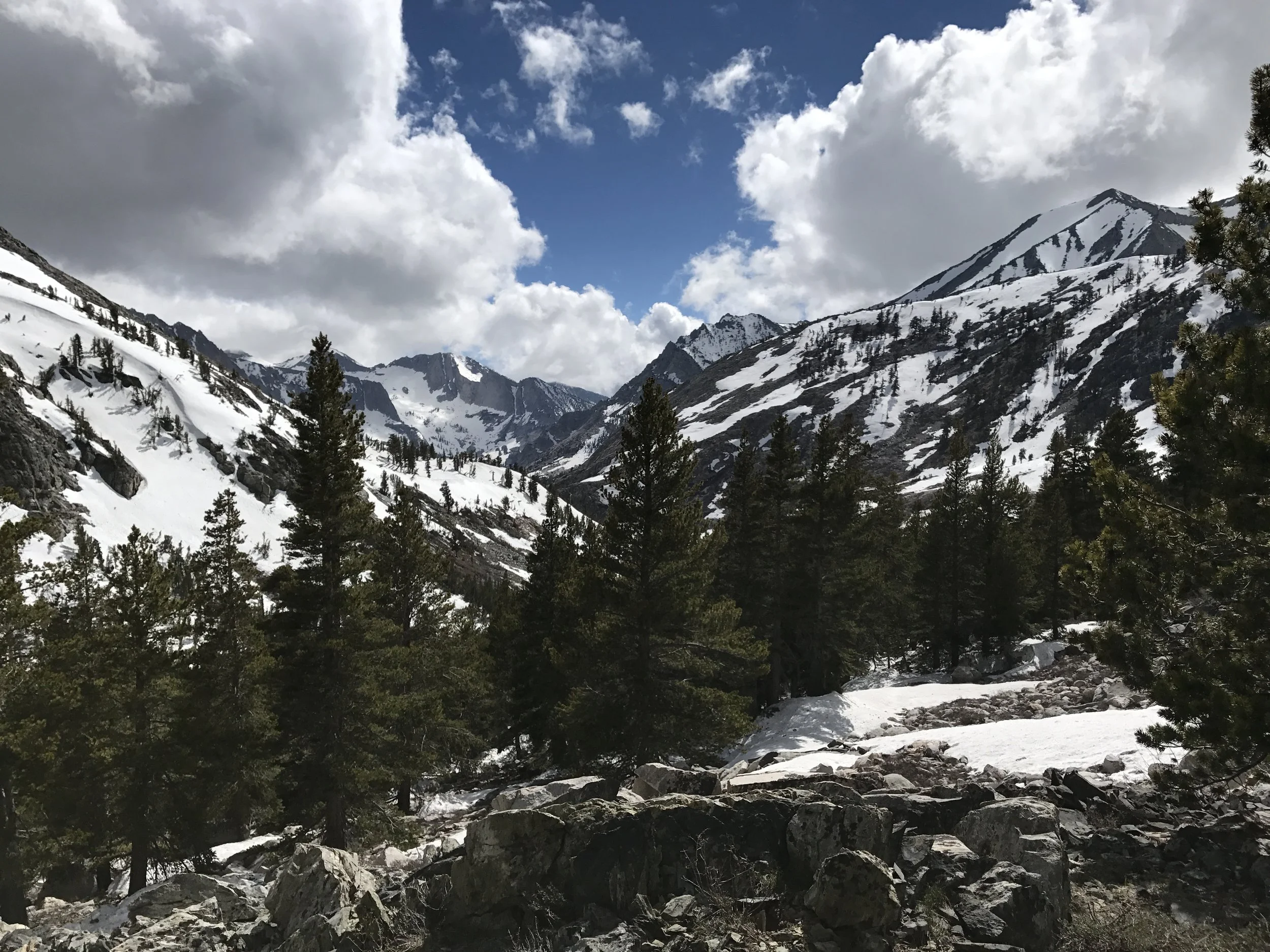
Mather Pass - Elevation 12,100 feet

Doing the Sierra surf!

A storm's a-brewing and coming right for us! After blowing gale winds up the valley, the storm dumped about 2-3 inches of snow overnight. Frozen shoes greeting me when I crawled out of the tent became fairly common.
Campsite perch for the night and one of the few snow free spots.
June 12
Pinchot Pass - Elevation 12,090 feet
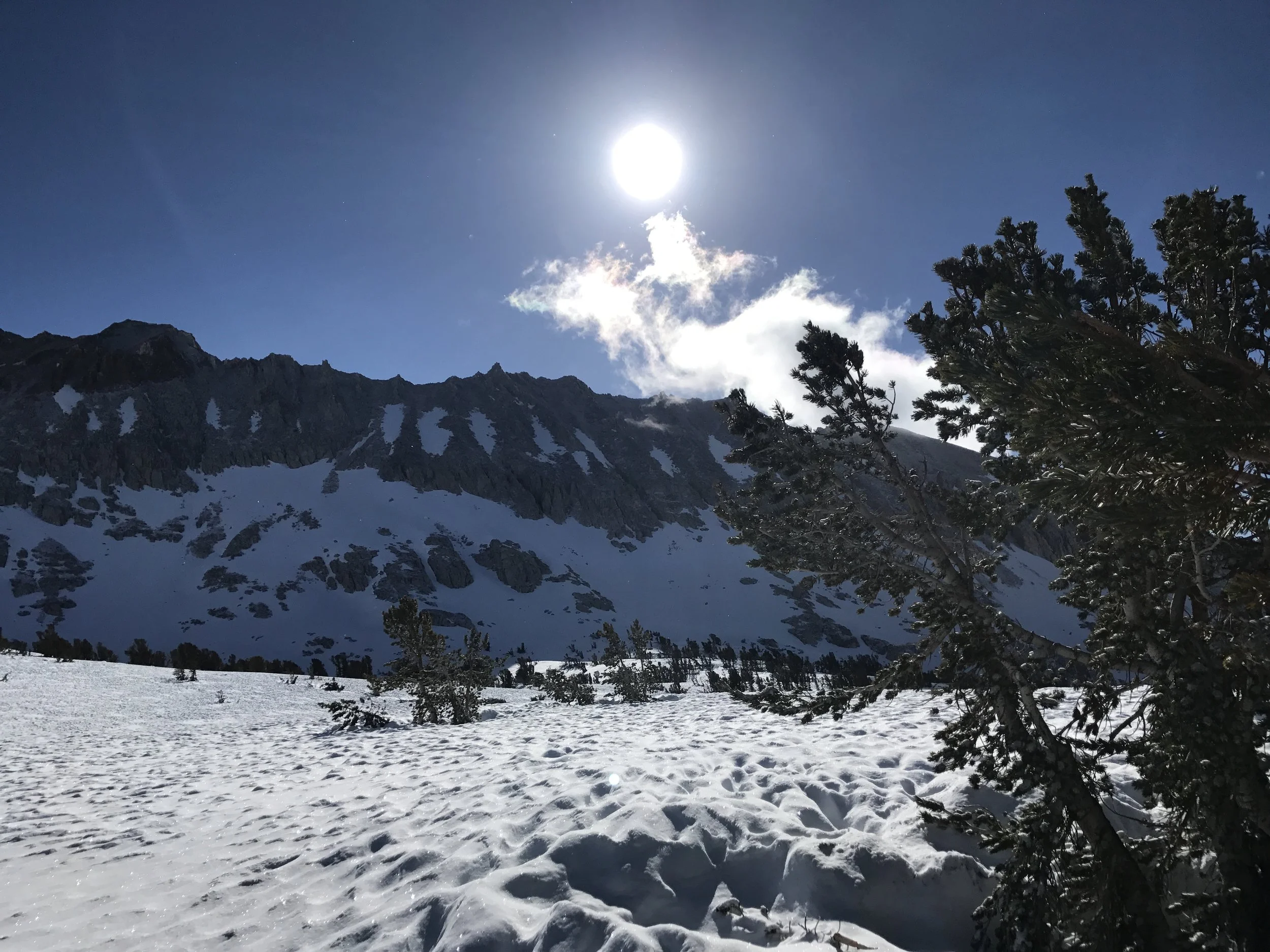
Early morning on the fresh powder, with snow cups, the holes in the surface of the snow, covering a long portion of the approach.

Snow filled the sun cups over night and made it even more challenging
Looking south from Pinchot
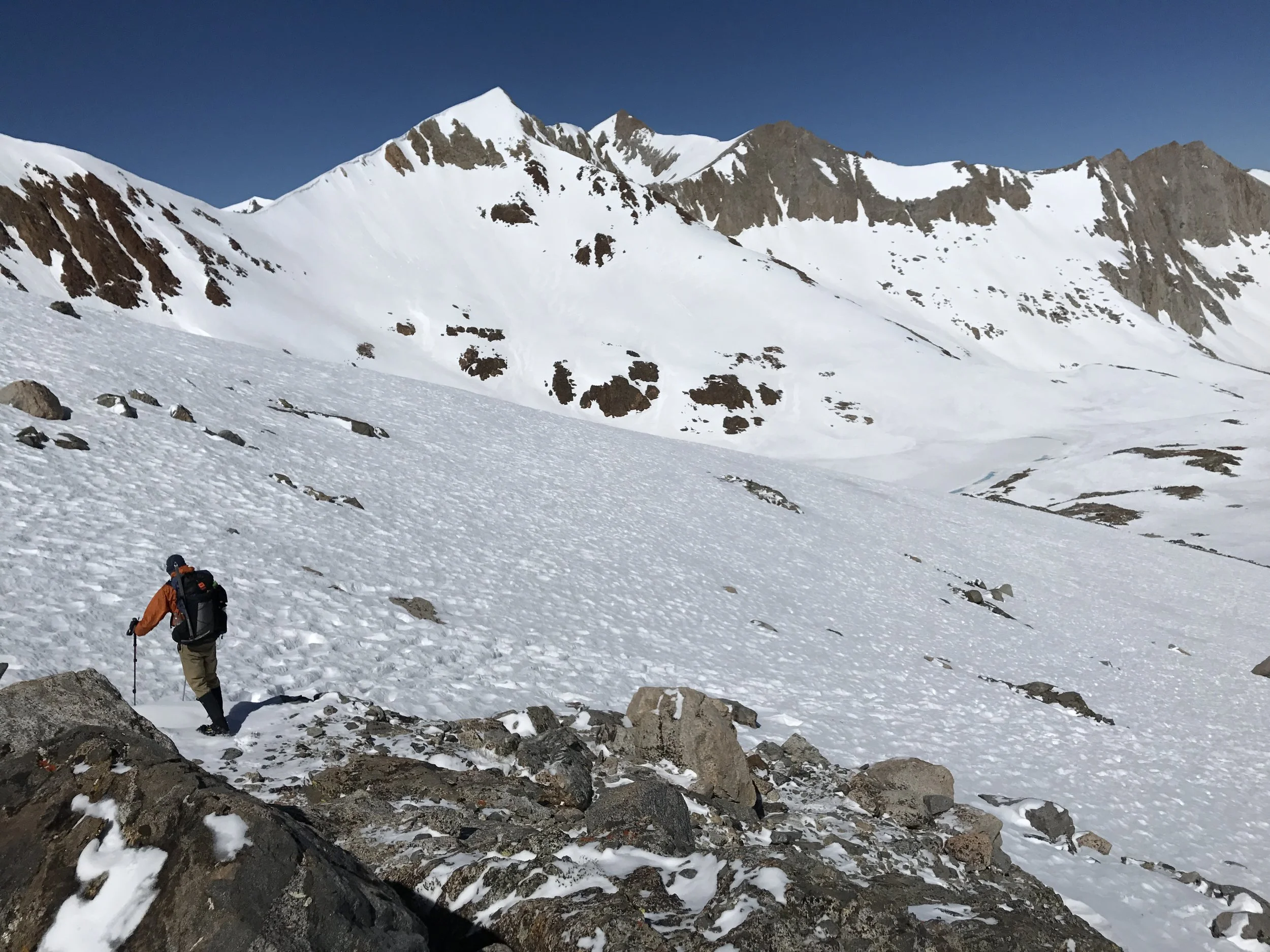
And beginning the descent down the north side

Another one down!
Miles of snow cups! The trick is catching it at the right time of day when it is just soft enough to allow your shoes to glide over them similar to skis. Too early in the day and you can easily sprain an ankle on the hard cups. Too late in the day and they become structureless mush that causes each step to be highly unpredictable.
June 13
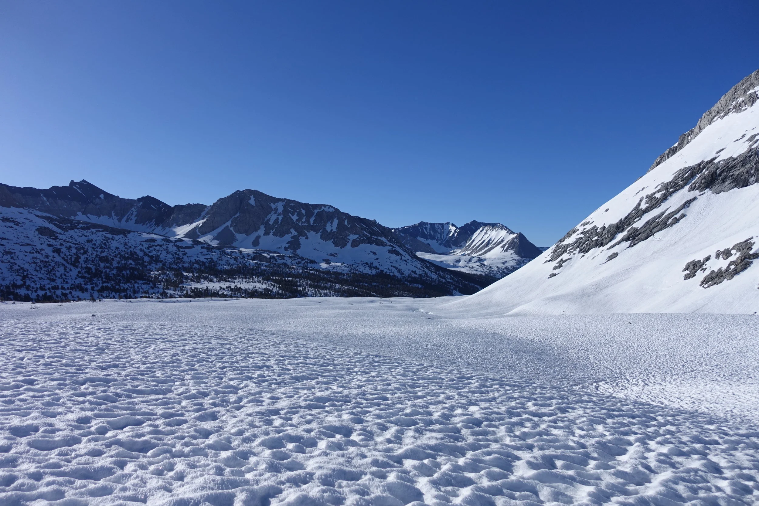
Mather Pass - Elevation 12,100 feet
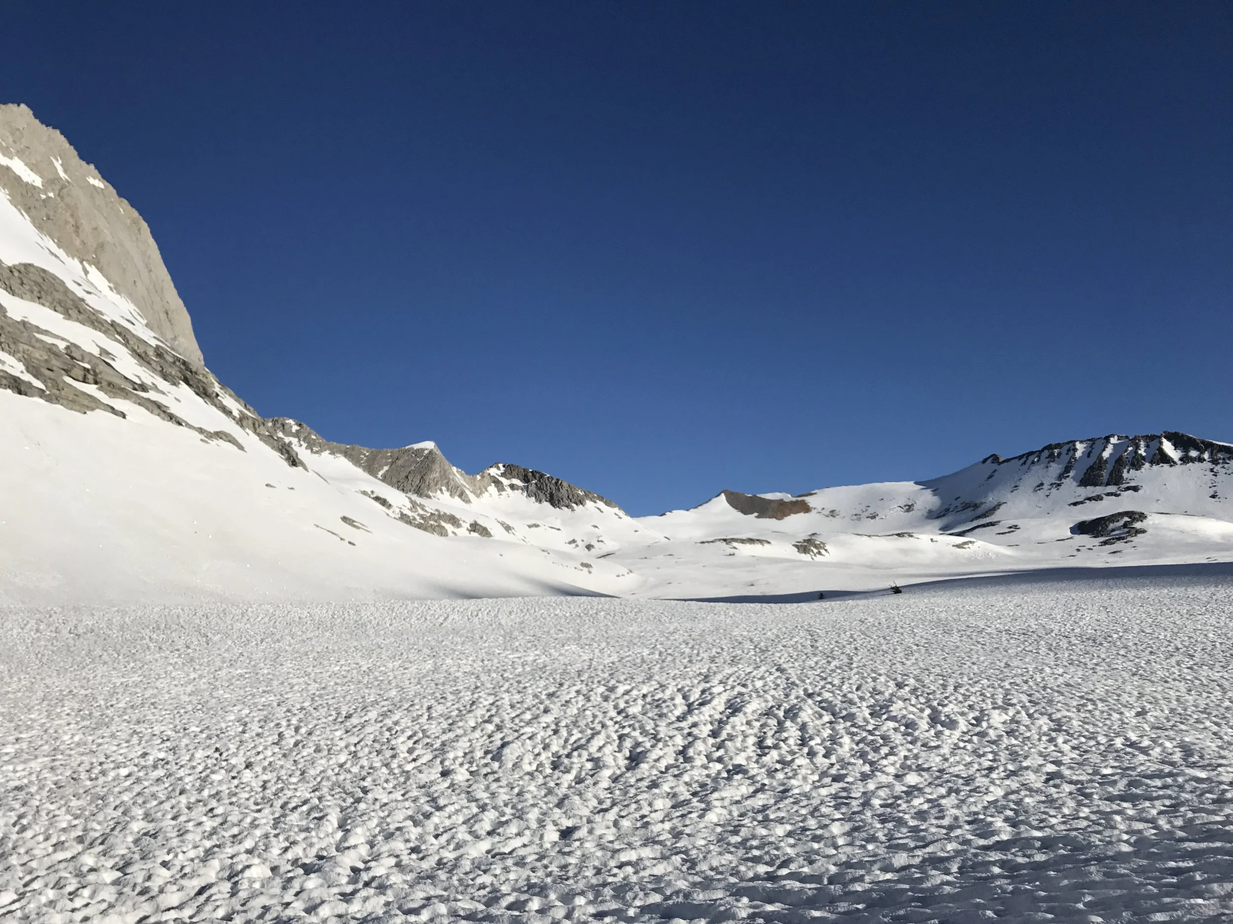
Another long snowfield approach. This one felt like the longest trudge to begin the actual climb of them all.
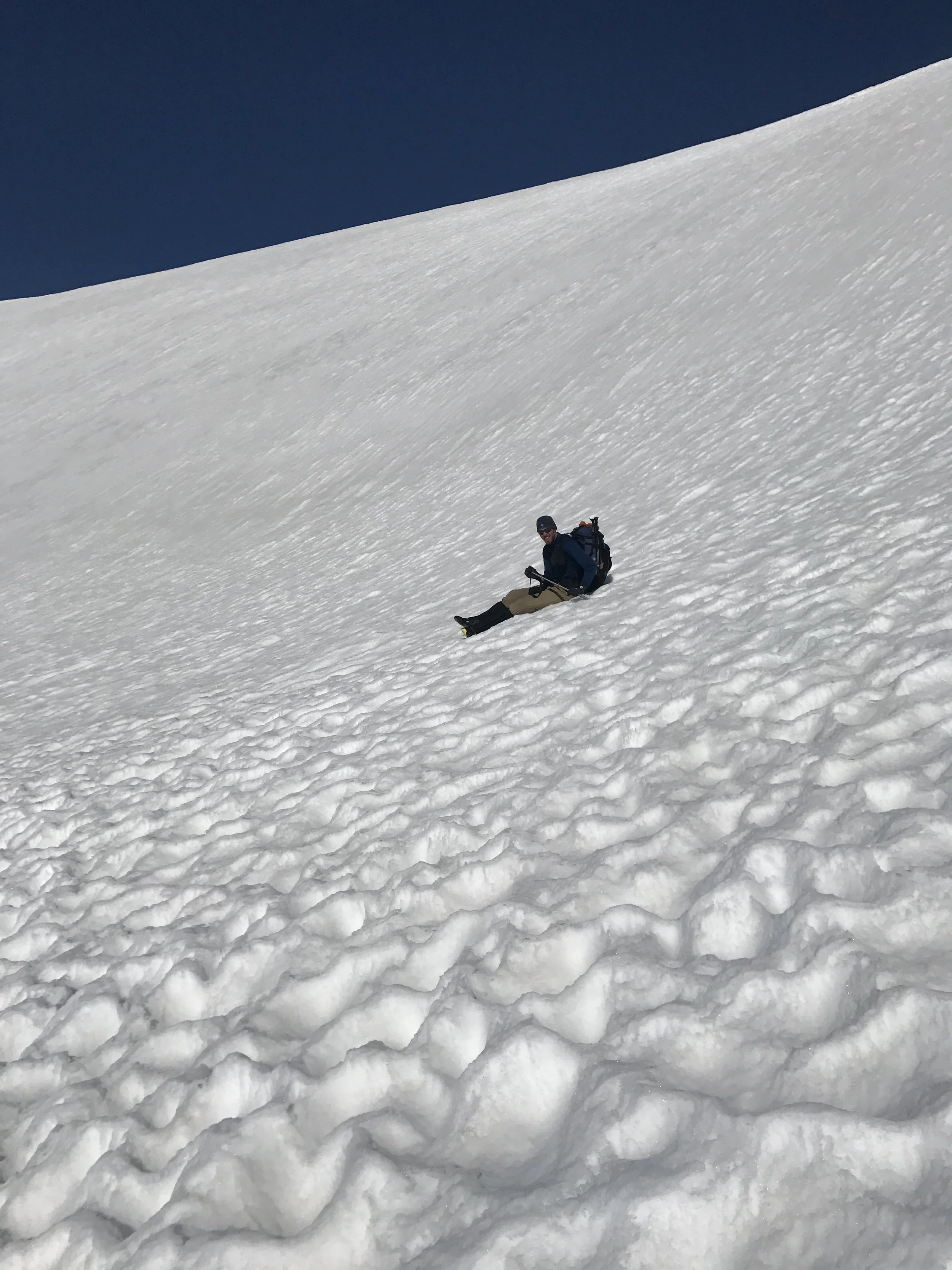
A still photo of glissading, the fine art of sliding down steep slopes on your butt, doesn't look near as fun as it does on video. Here, Strider shows proper form near the bottom of a couple hundred foot glissade.

Tough flora on top of the Pass.
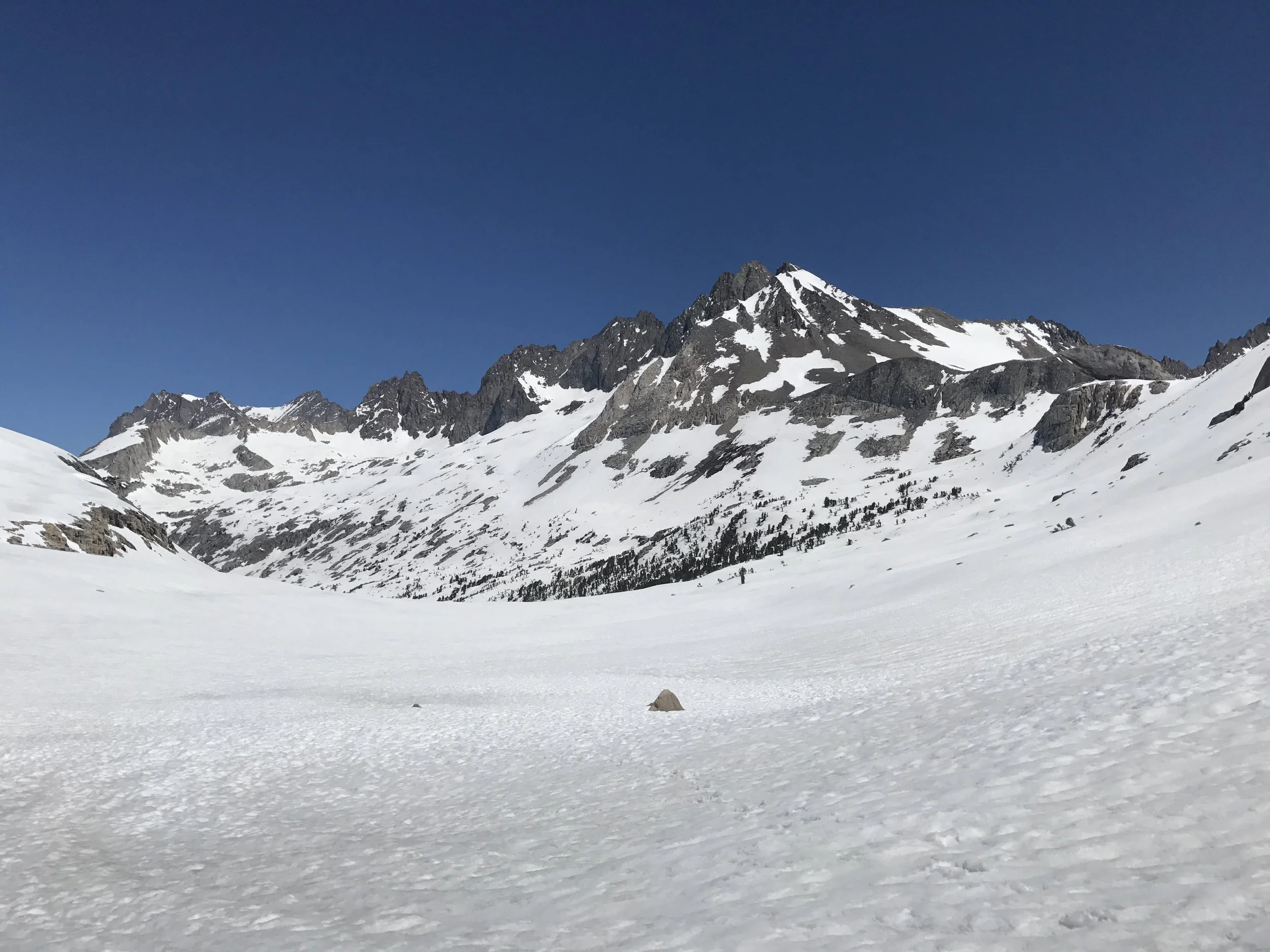
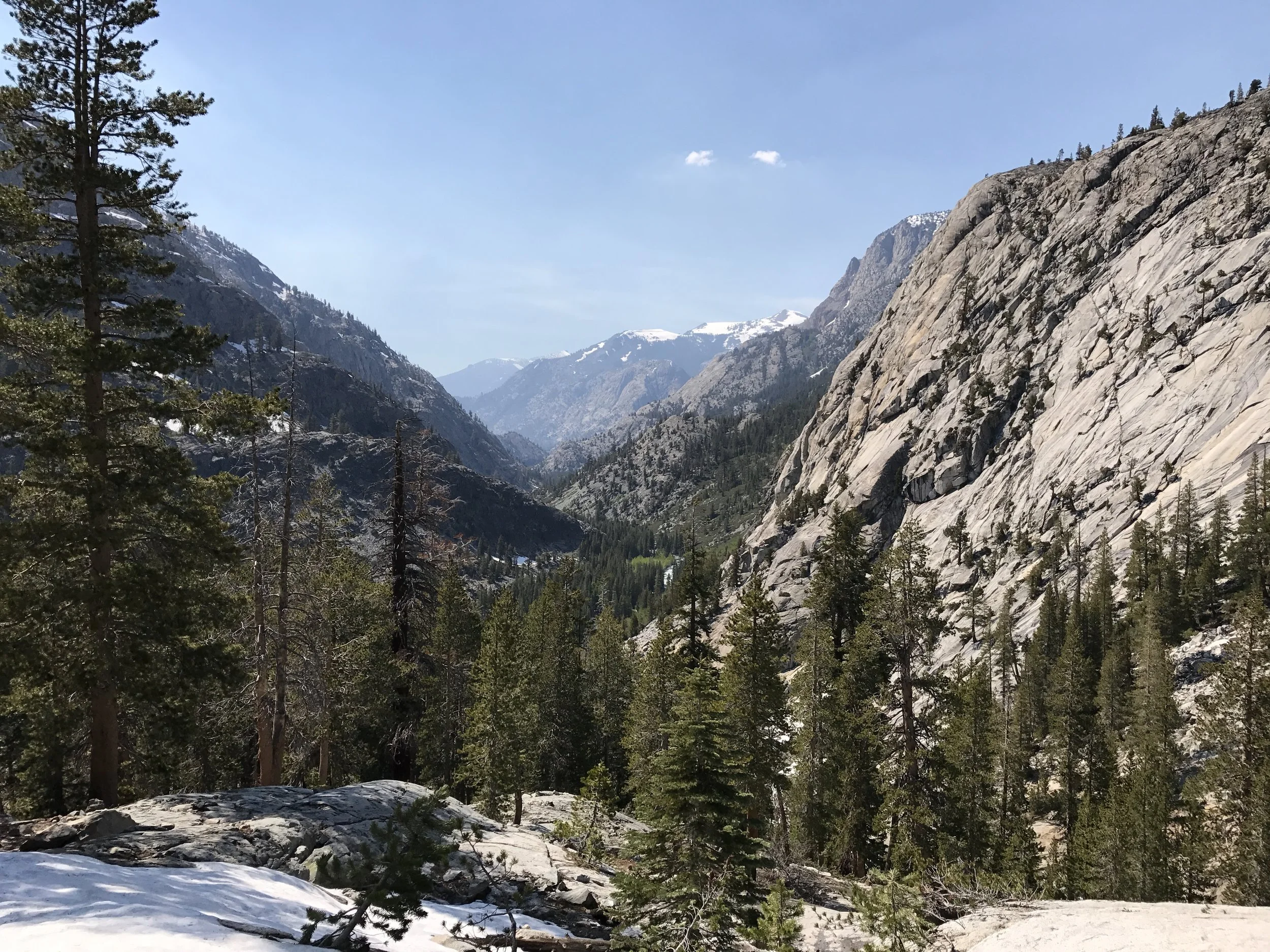
The view down the valley
The scale here is daunting

A river temporarily hidden at high elevations
Snow camp! Carving out nice flat snow platforms is fairly easy with an ice axe. Staying warm overnight on one isn't.

The deep snow bends young trees like little saplings.

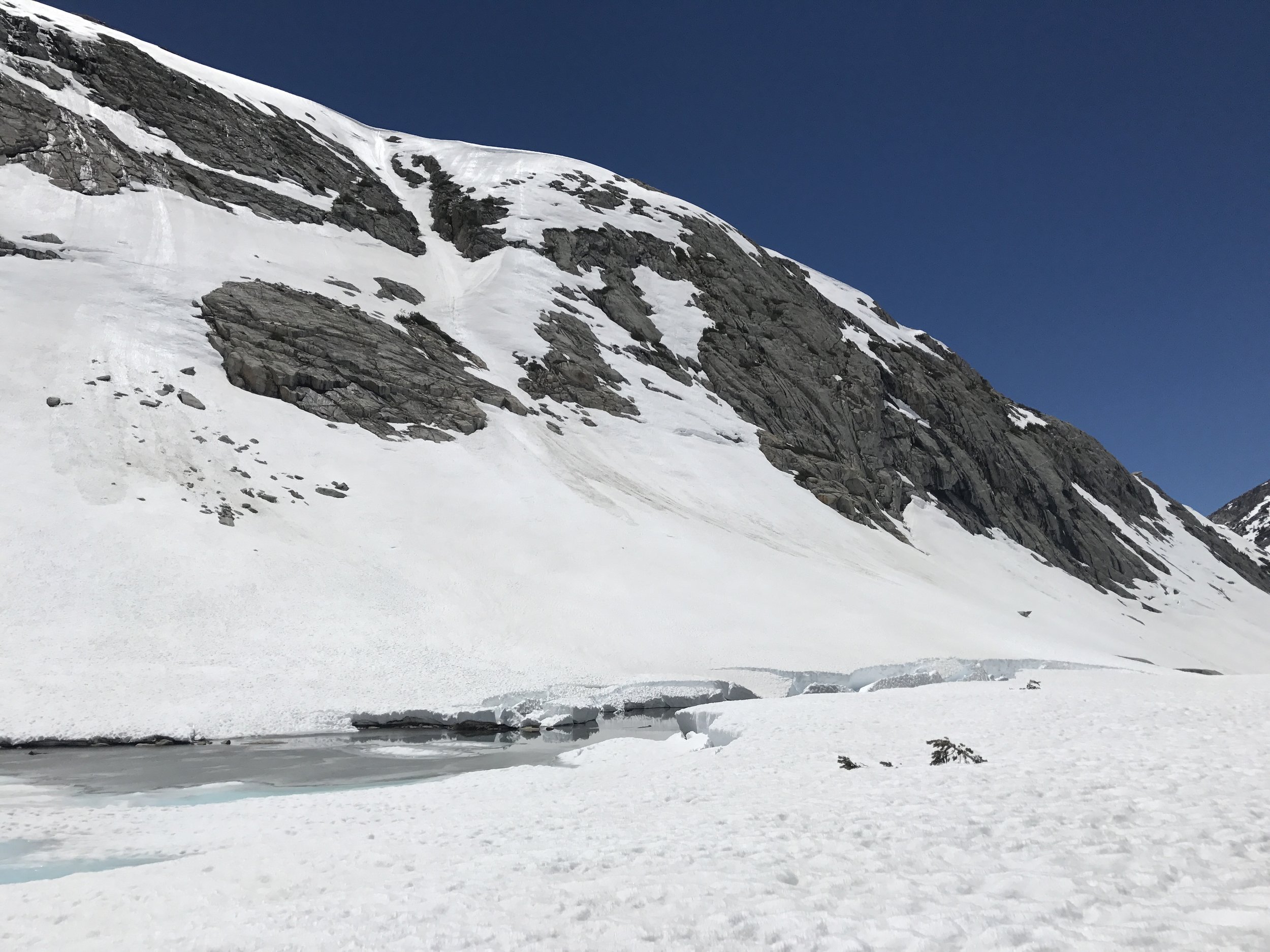
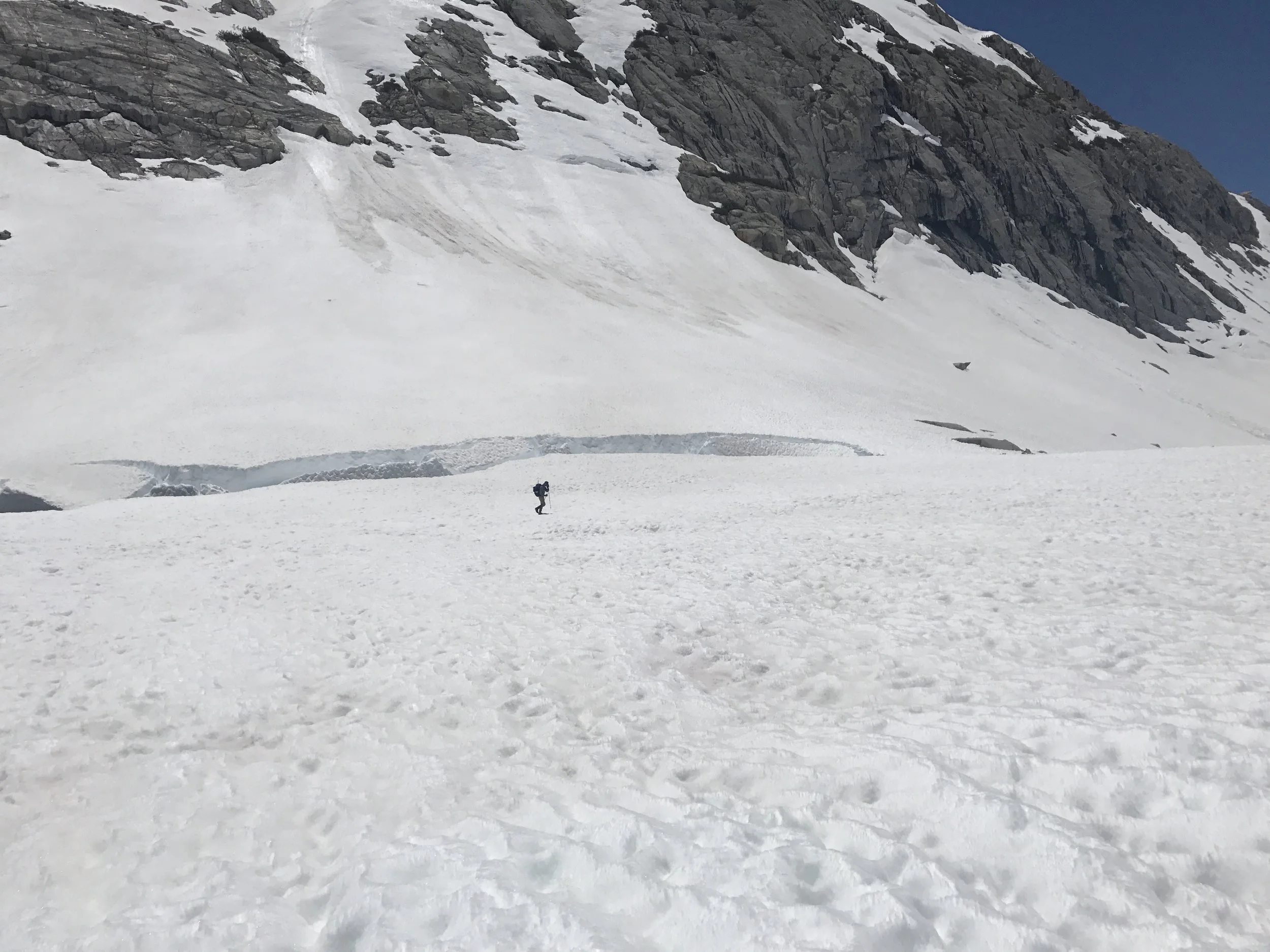
Ice starting to cave in around a lake edge

View looking north and the pair of mountaineers. Strider and me.
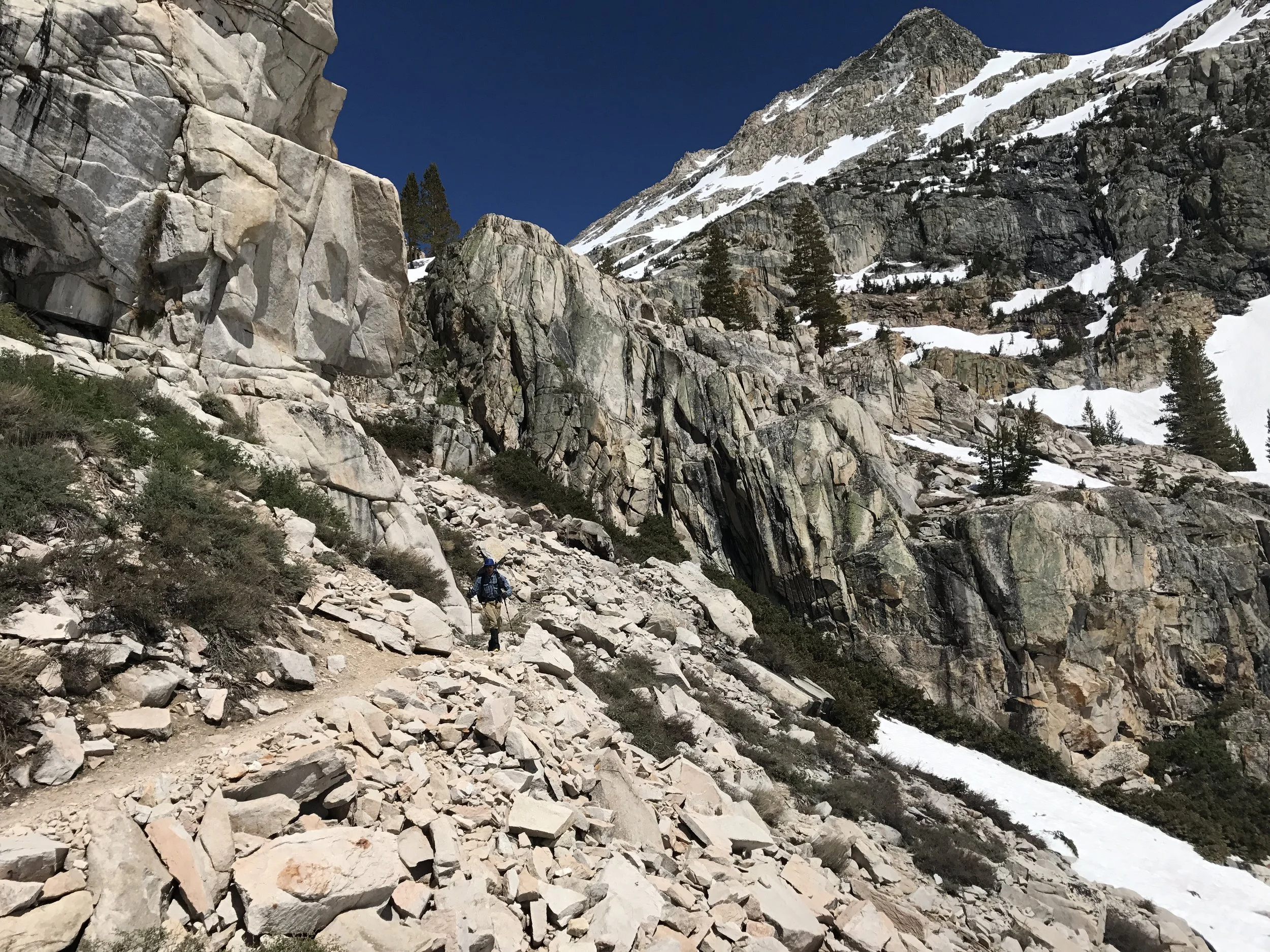
Descending a west facing switchback that the snow had thankfully melted from. When switchbacks were covered with snow, we had create our own path down faces that often approached vertical. Scary stuff for somebody not highly experienced in winter mountaineering.
Sweet relief even if temporary! Exposed trail and warm sun in the lower valley.

It's like springtime up here! A delicate iris-looking flower blooming.
Aspen groves were dotted through the valley as well. This little tangle is a grove of young aspens starting to leaf out.

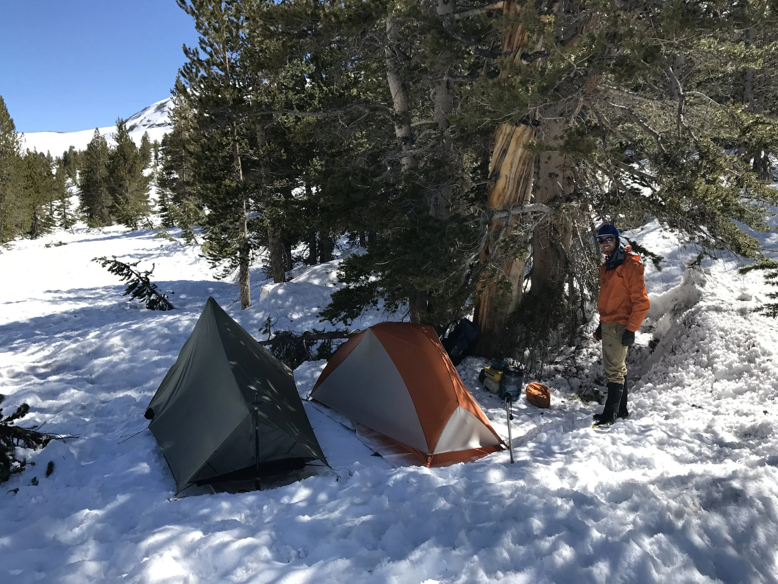
Enjoying a relaxed morning in camp
Rushing creek fed by snowmelt.
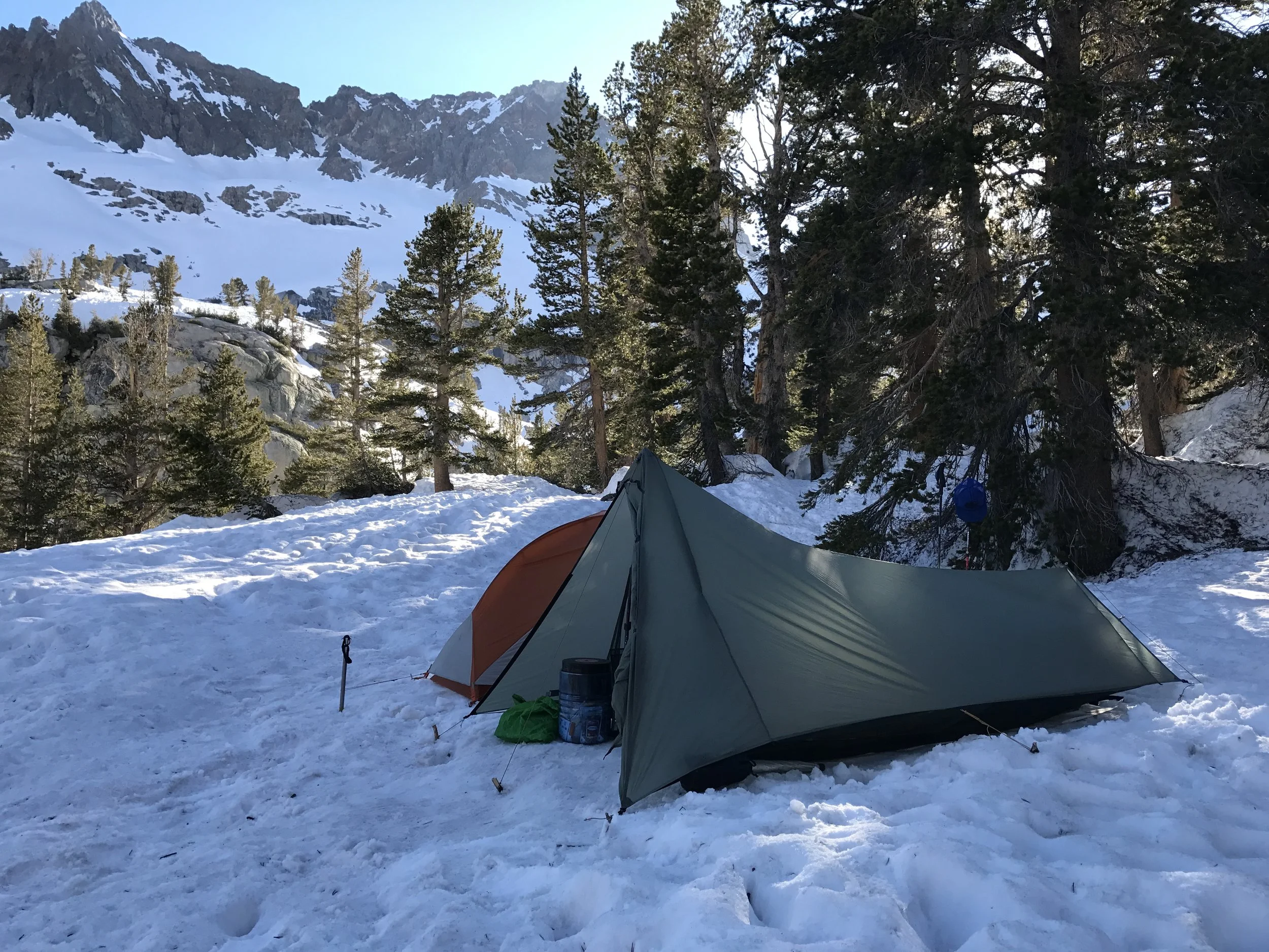
Another snow camp setting up for the Muir Pass ascent

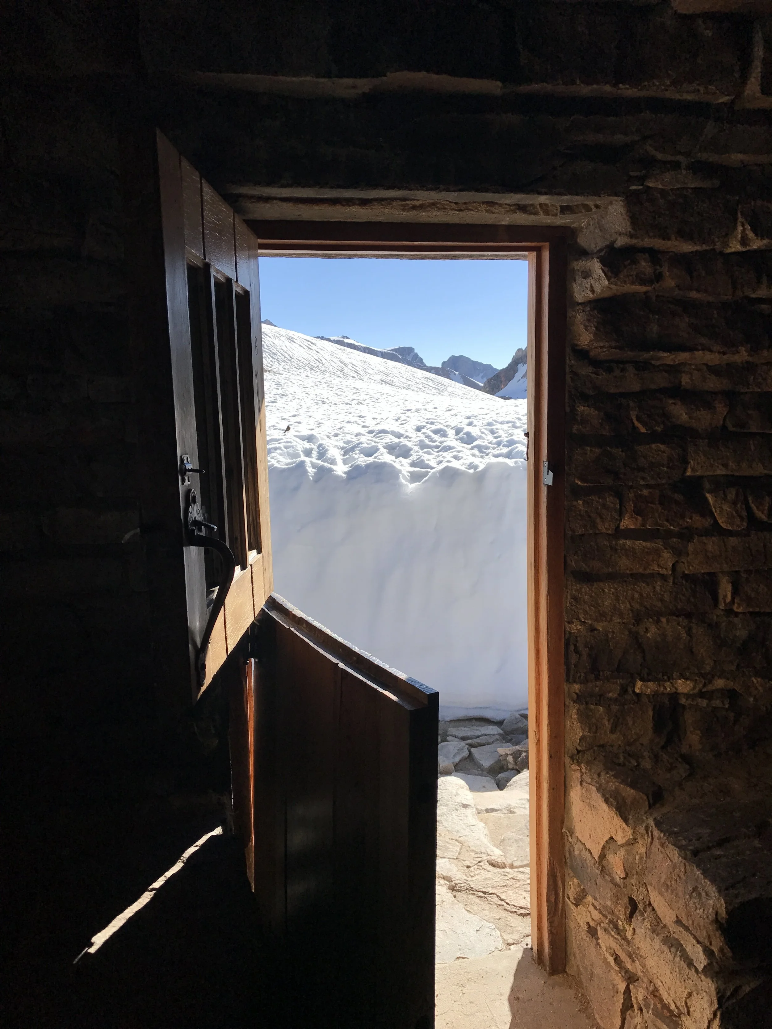
The chilly view from inside

Tired, sunburnt and trying to stay warm.
June 15
Muir Pass - Elevation 11,955 feet

Mountain lion tracks spotted in the snow on the morning of the Muir Pass climb.

Strider shows the size of the snow banks.
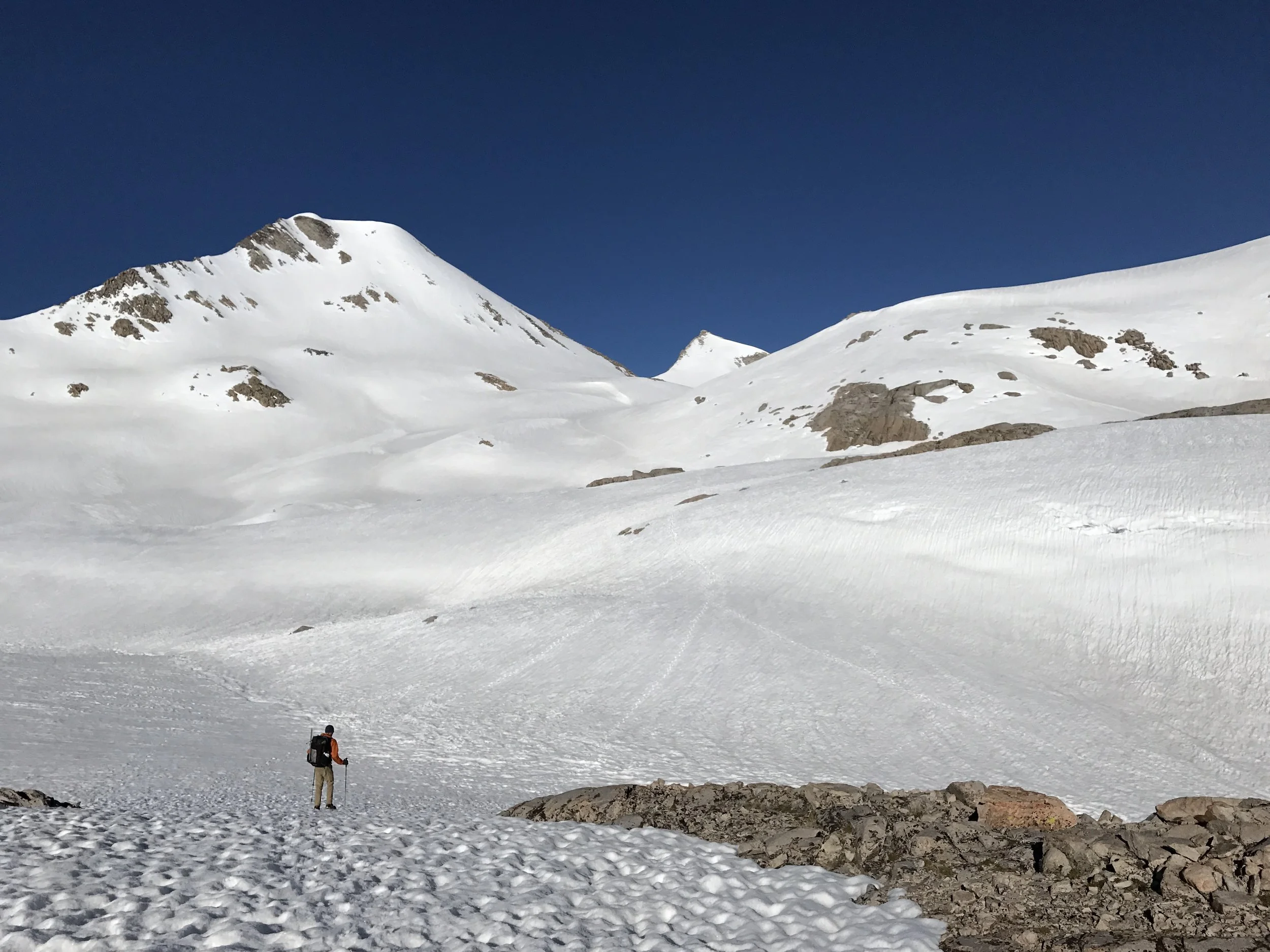
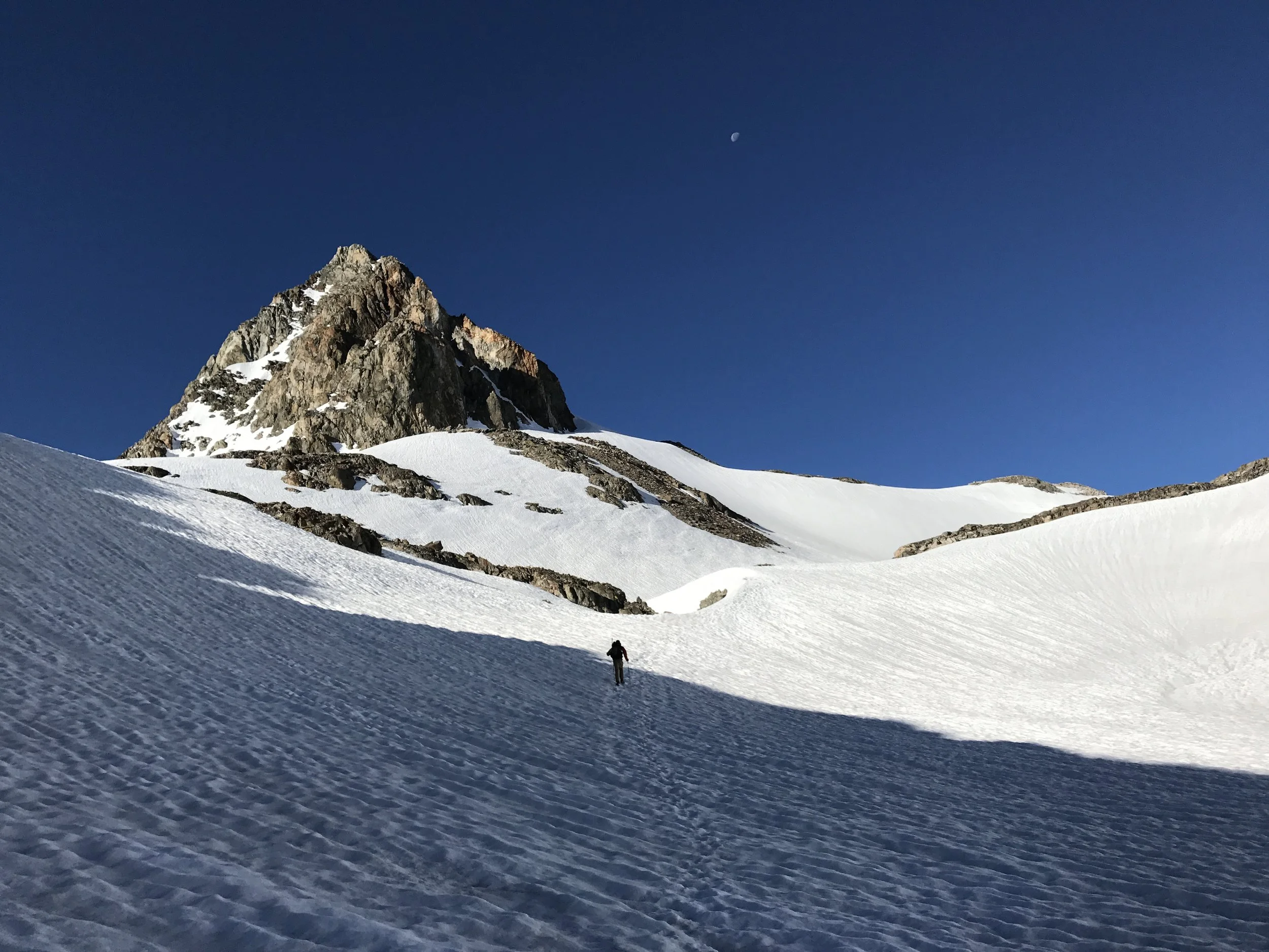
Massive landscapes up here. Muir Pass approach.
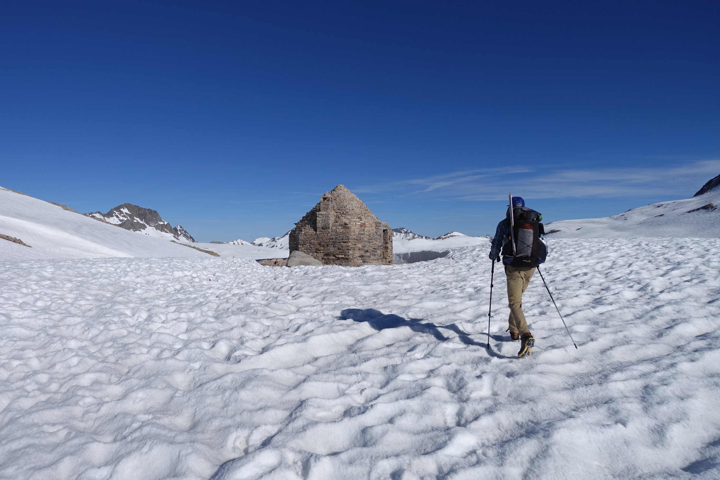
Arrived! Muir hut!


The long white descent.

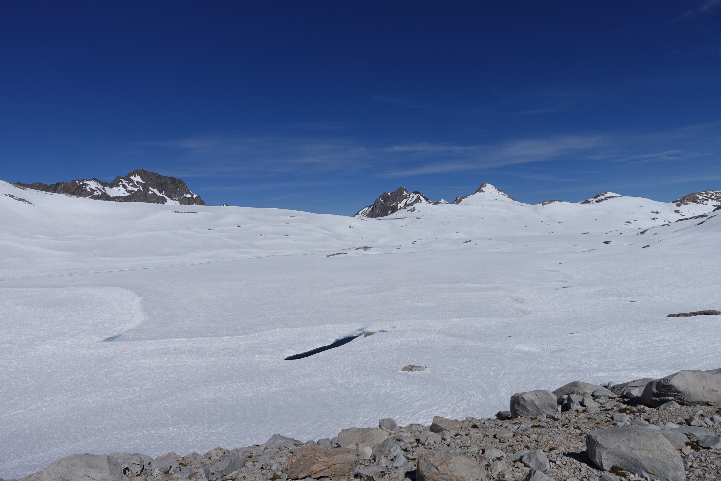
Snowscape looking north
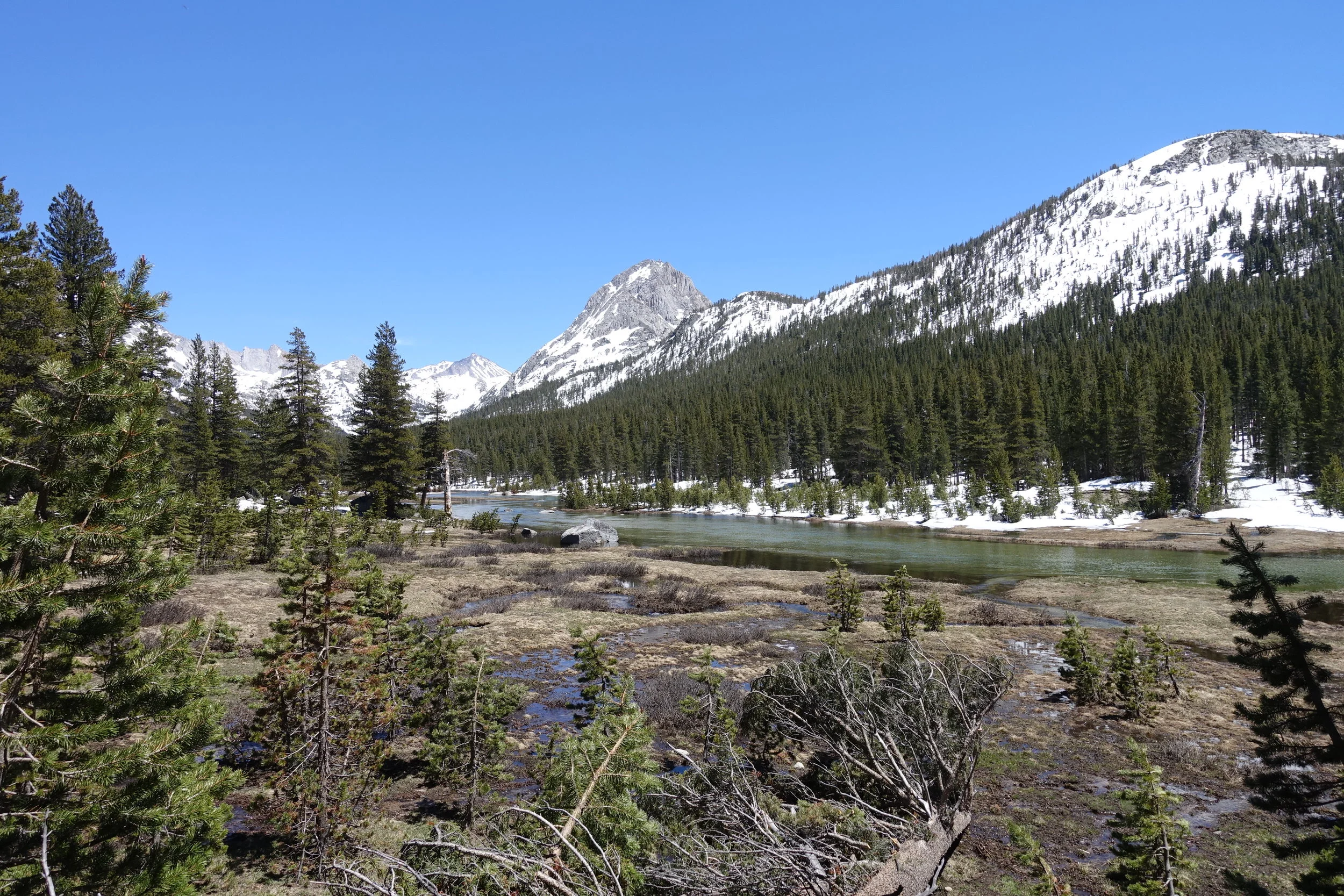
Evolution Valley
Amazing reflection along Evolution.
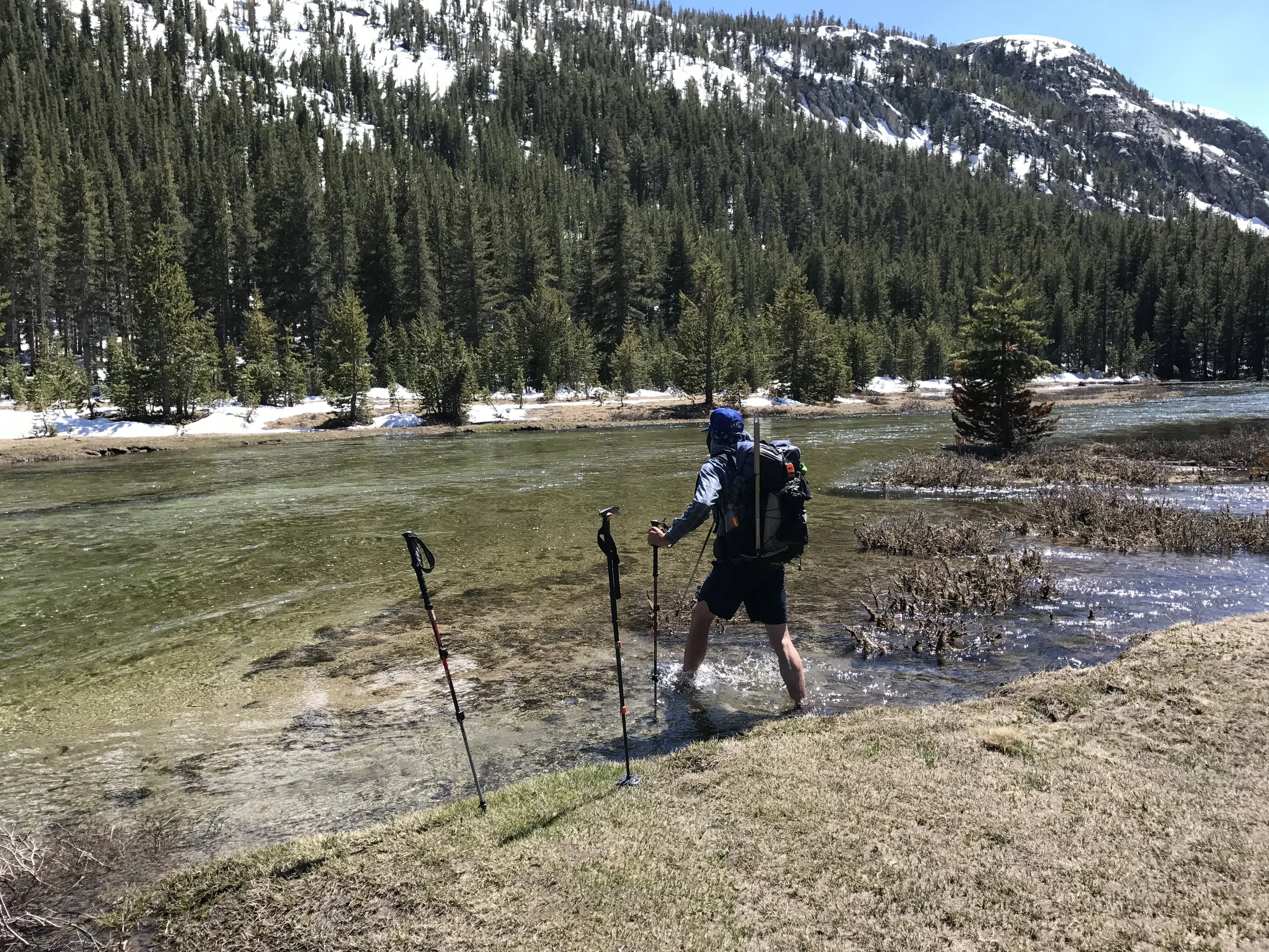
Starting the Evolution Creek crossing in the meadow upstream from the regular crossing location. This peaceful waist-deep flow turned into a raging torrent a quarter mile north of here.
The beauty of this place!
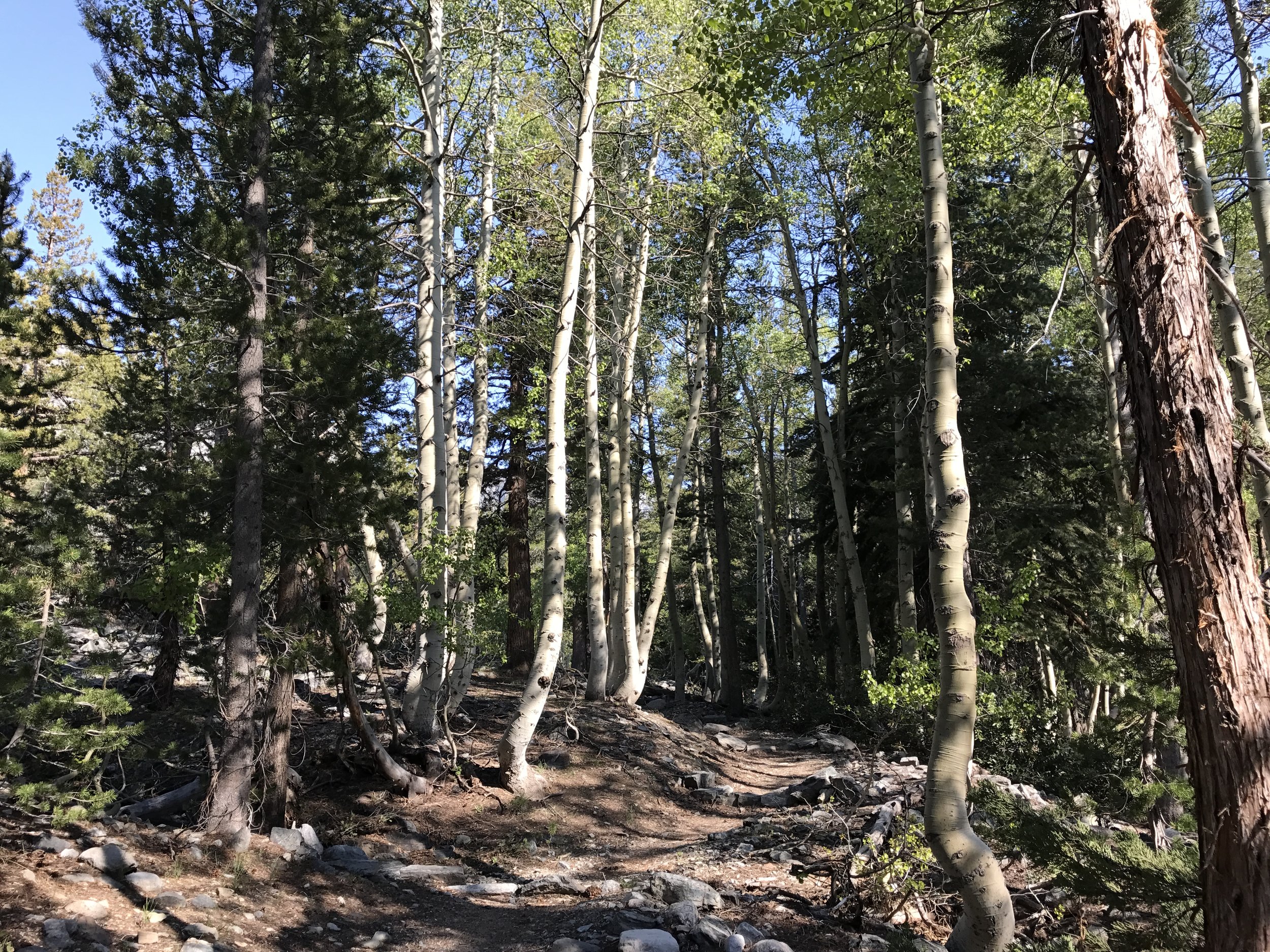
Aspens!

Raging river alongside the trail.
Muir Pass was the last of the +11,000 foot elevation passes. Selden Pass and Silver Pass were still ahead at just below 11k. Plus there was plenty more snow travel, swollen creeks and challenges ahead.