Day 1, April 28:
Dropped off at the southern terminus monument by trail angel (people along the trail who assist hikers) volunteers, I started the journey northbound. I peered through the wall to Mexico on the other side, signed into the log book and began walking. There was much more water flowing in this stretch than in normal years and so much color from desert blooms.
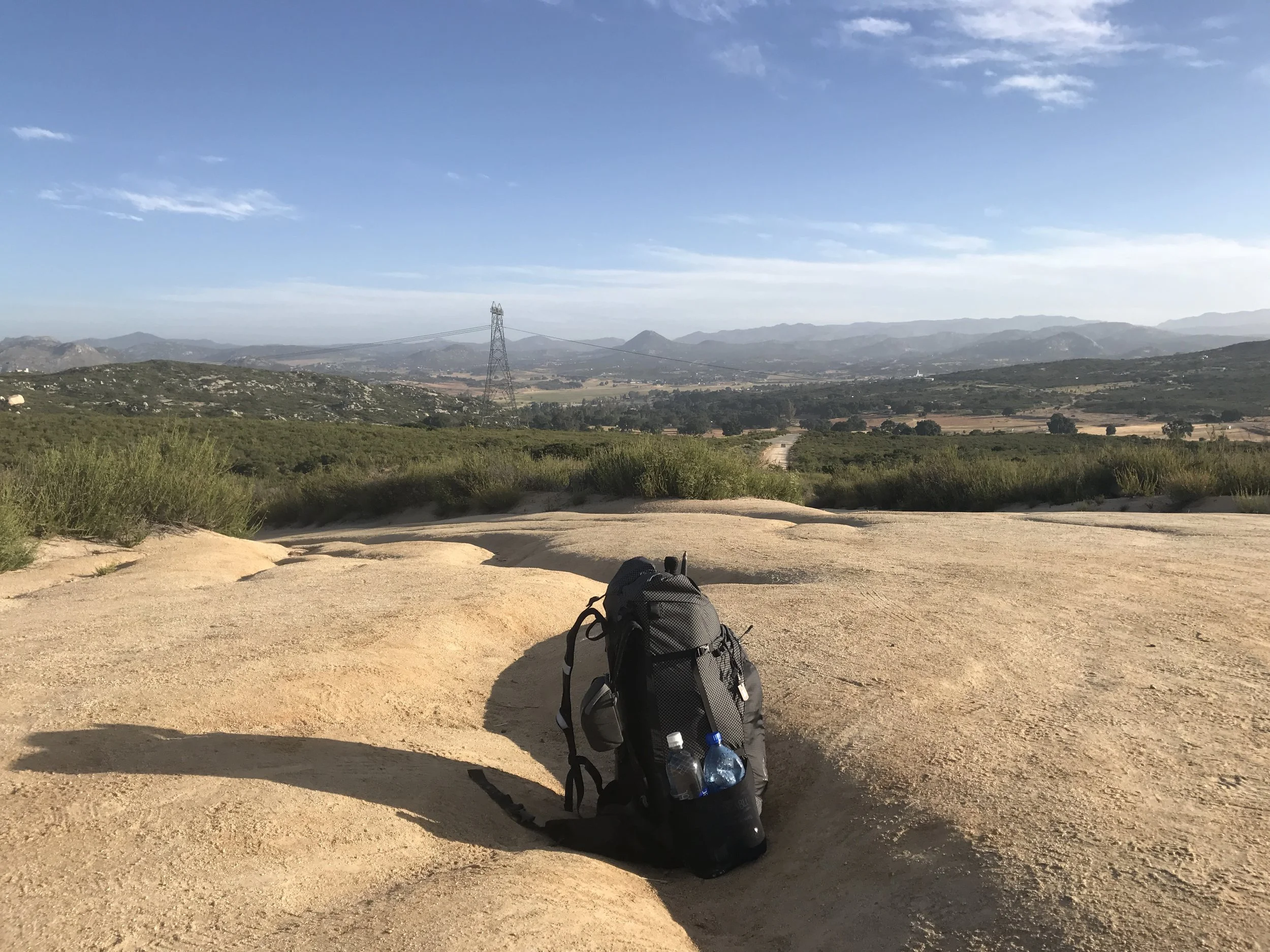
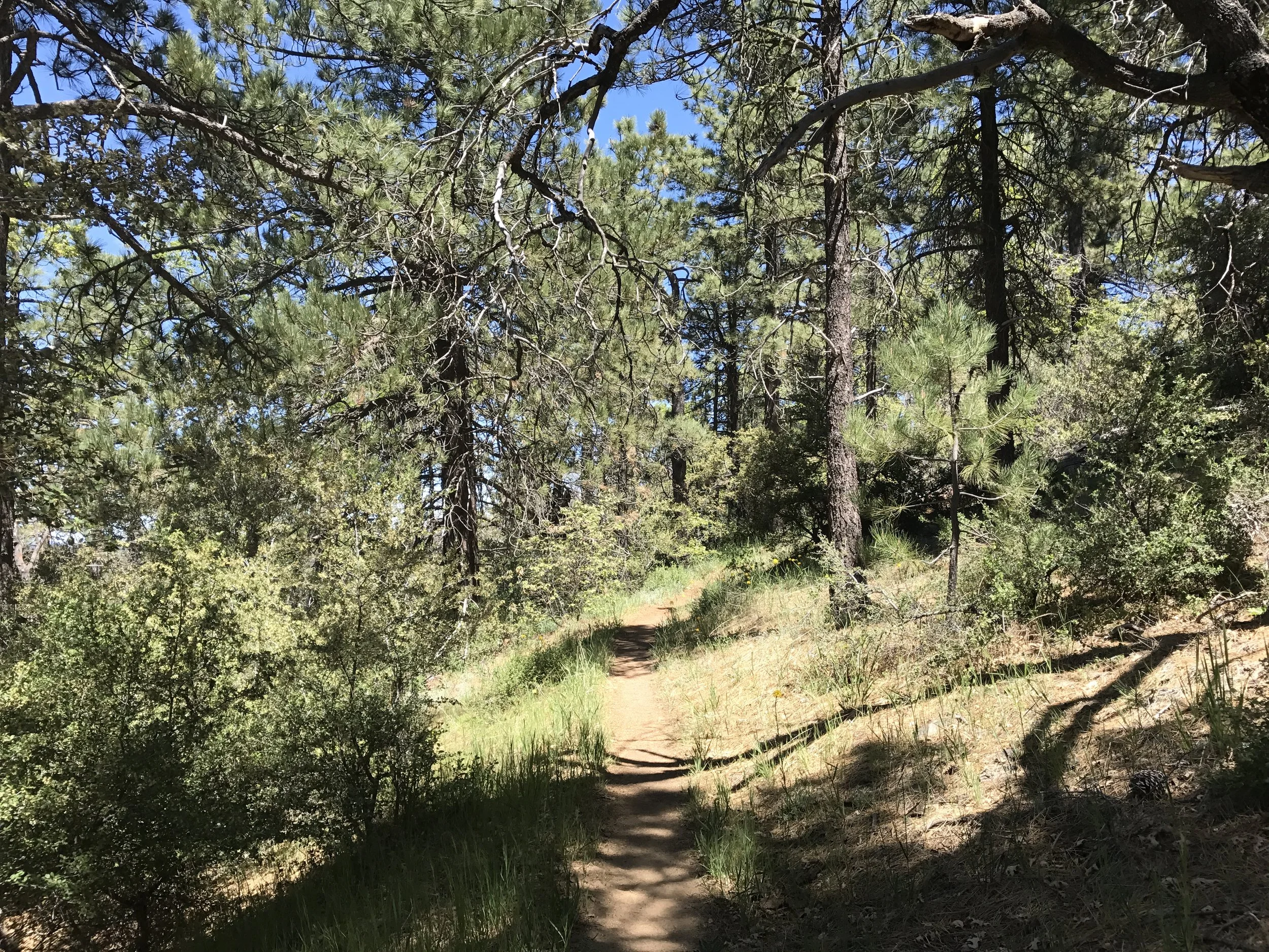
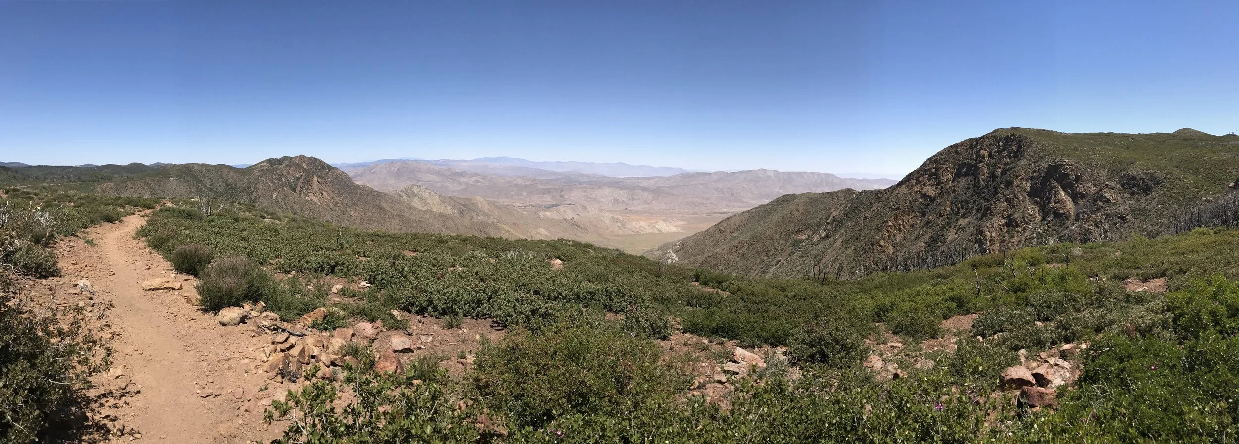
My home and gear for 5 months with a view northbound
Hand in Mexico
2649 miles to go
Trail crosses tracks
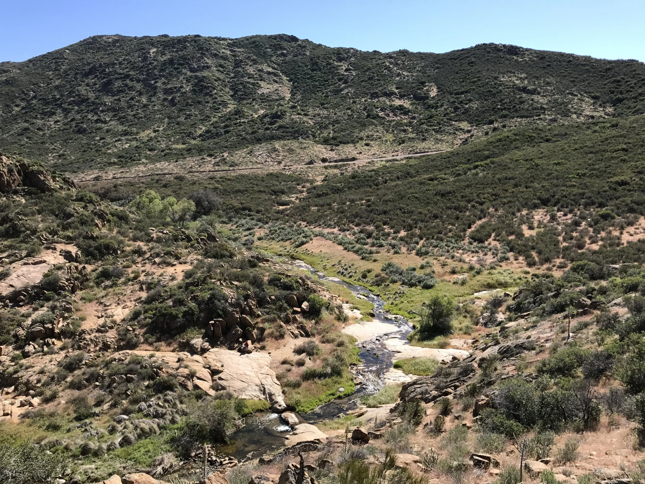
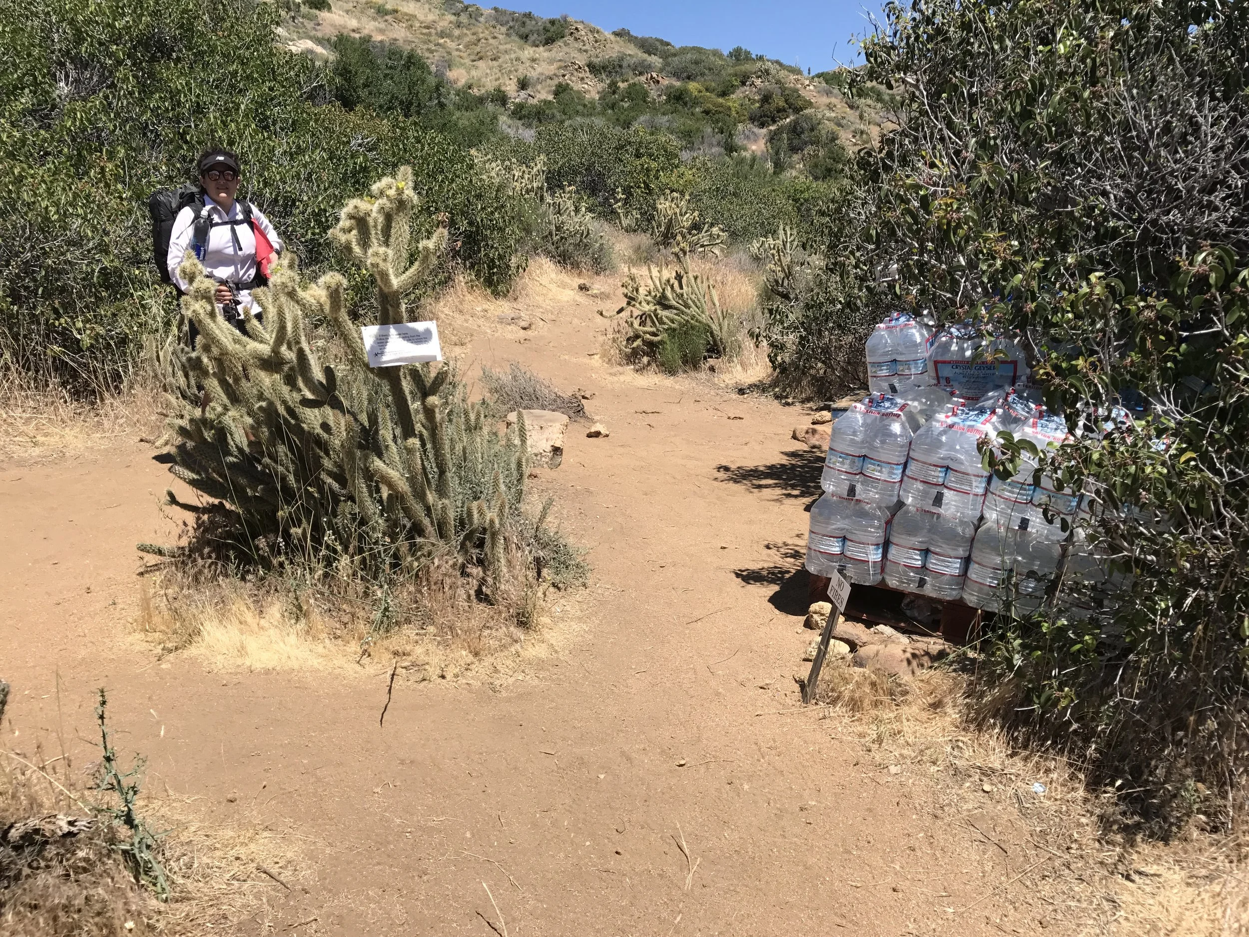
Water in the desert...first source at mile 3
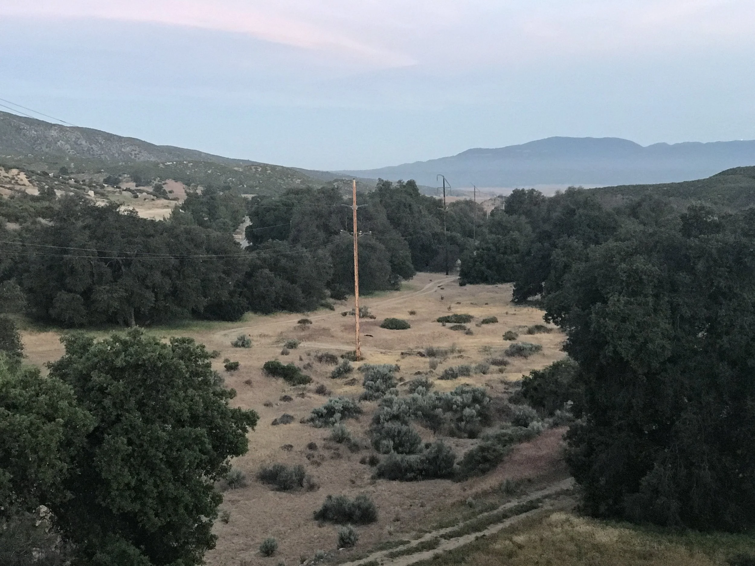
Looking back south from a hilltop. The power lines in the distance were close to the border
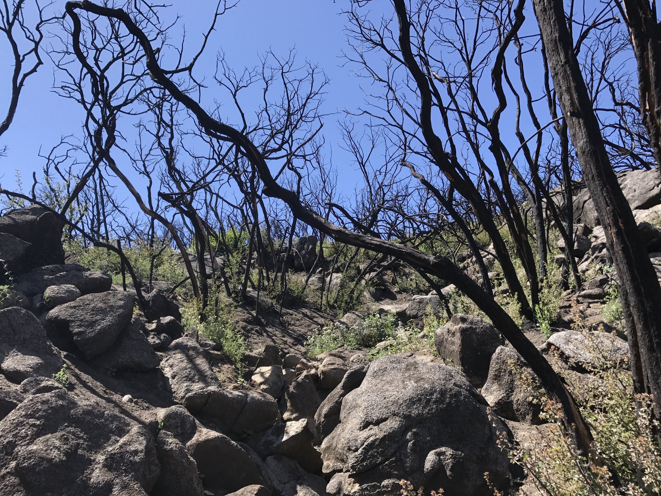
Charred trees from a past fire
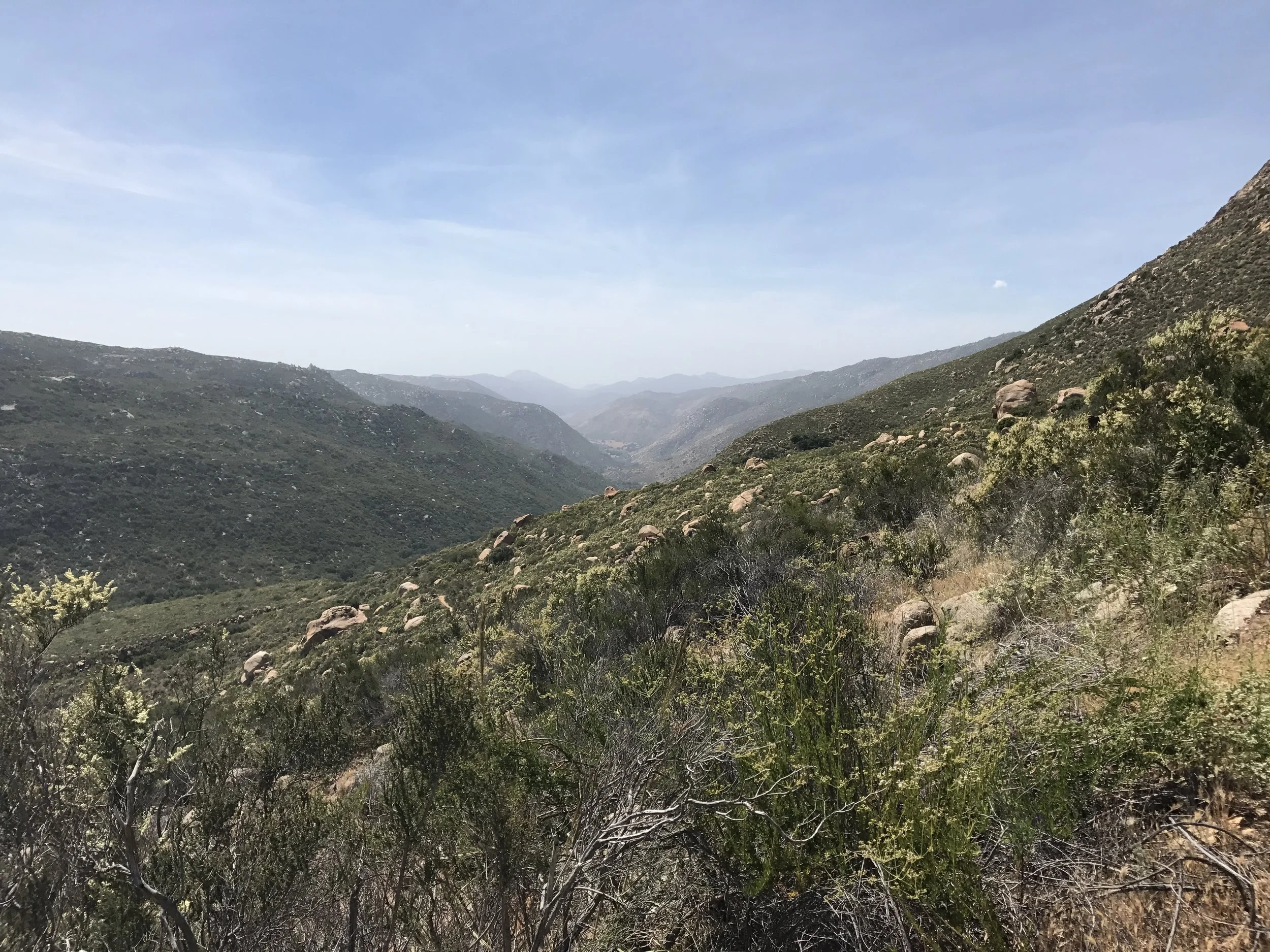
Climbing out of Hauser Creek Canyon at mile 16
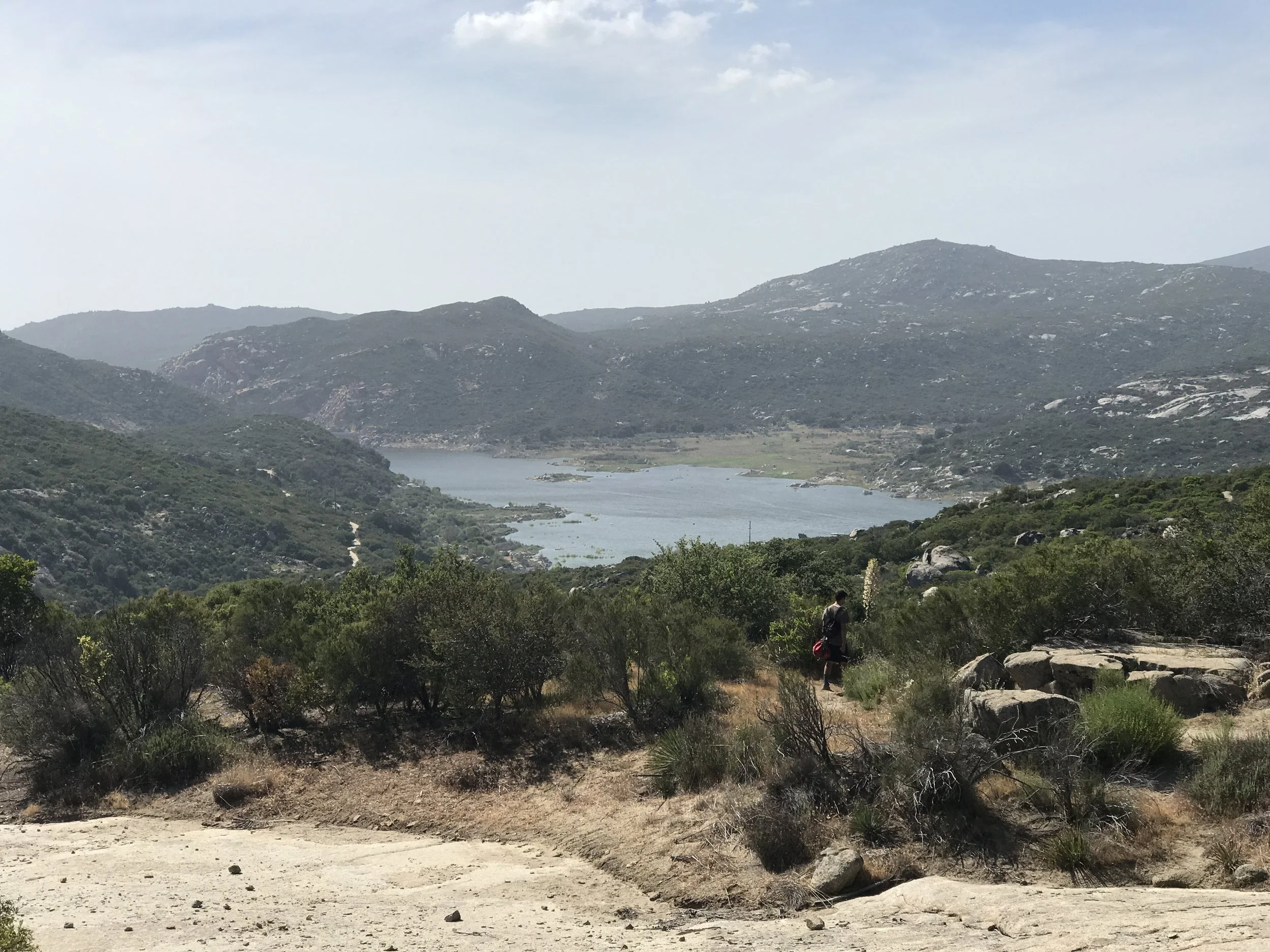
Lake Morena in view
Camp at Lake Morena after the first 20 mile day
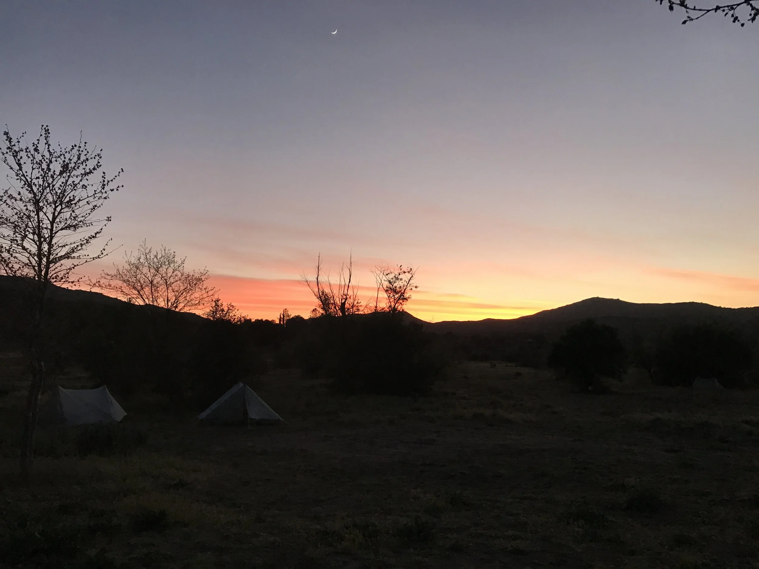
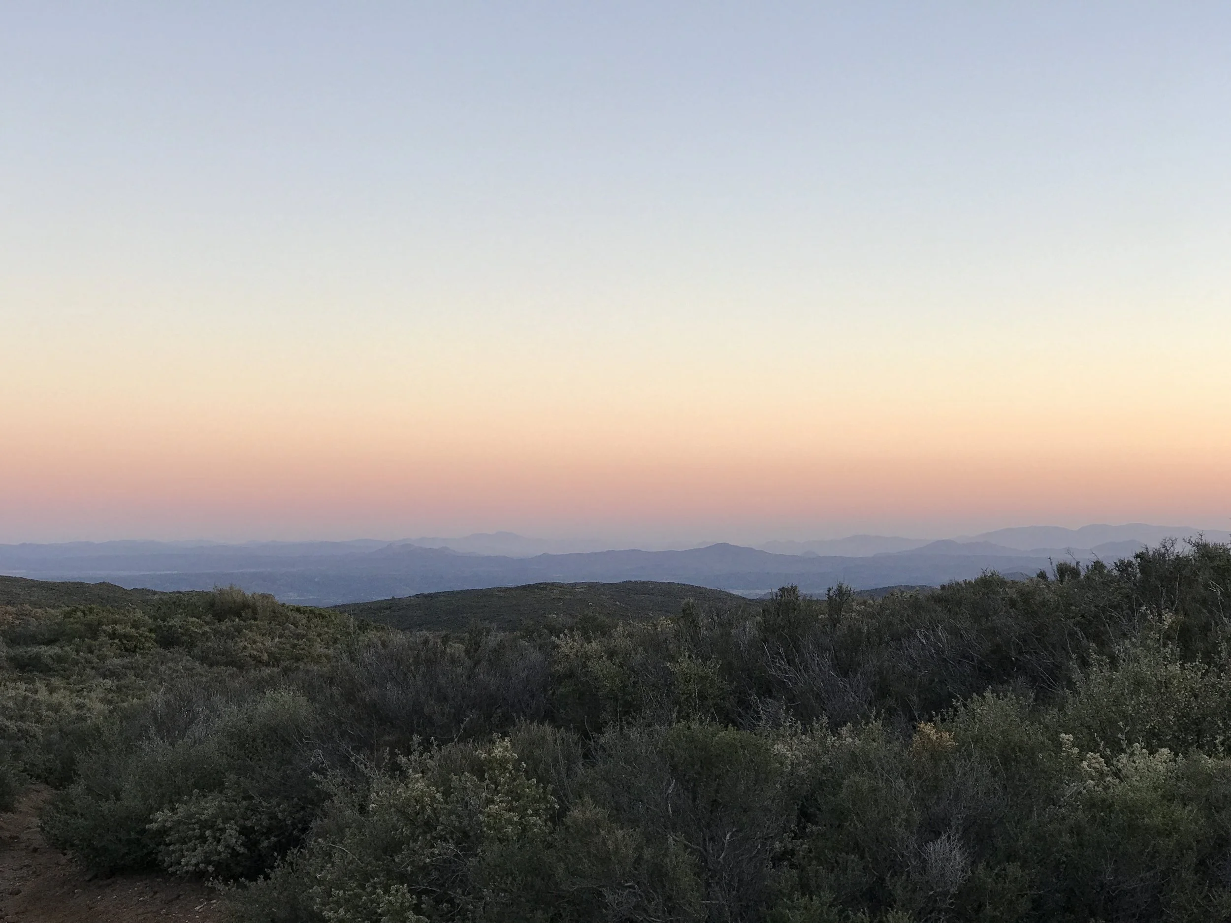
Amazing sunset
Packing up camp
Day 2 - Lake Morena to Lower Morris Meadow 19 miles
Day 2 sunrise
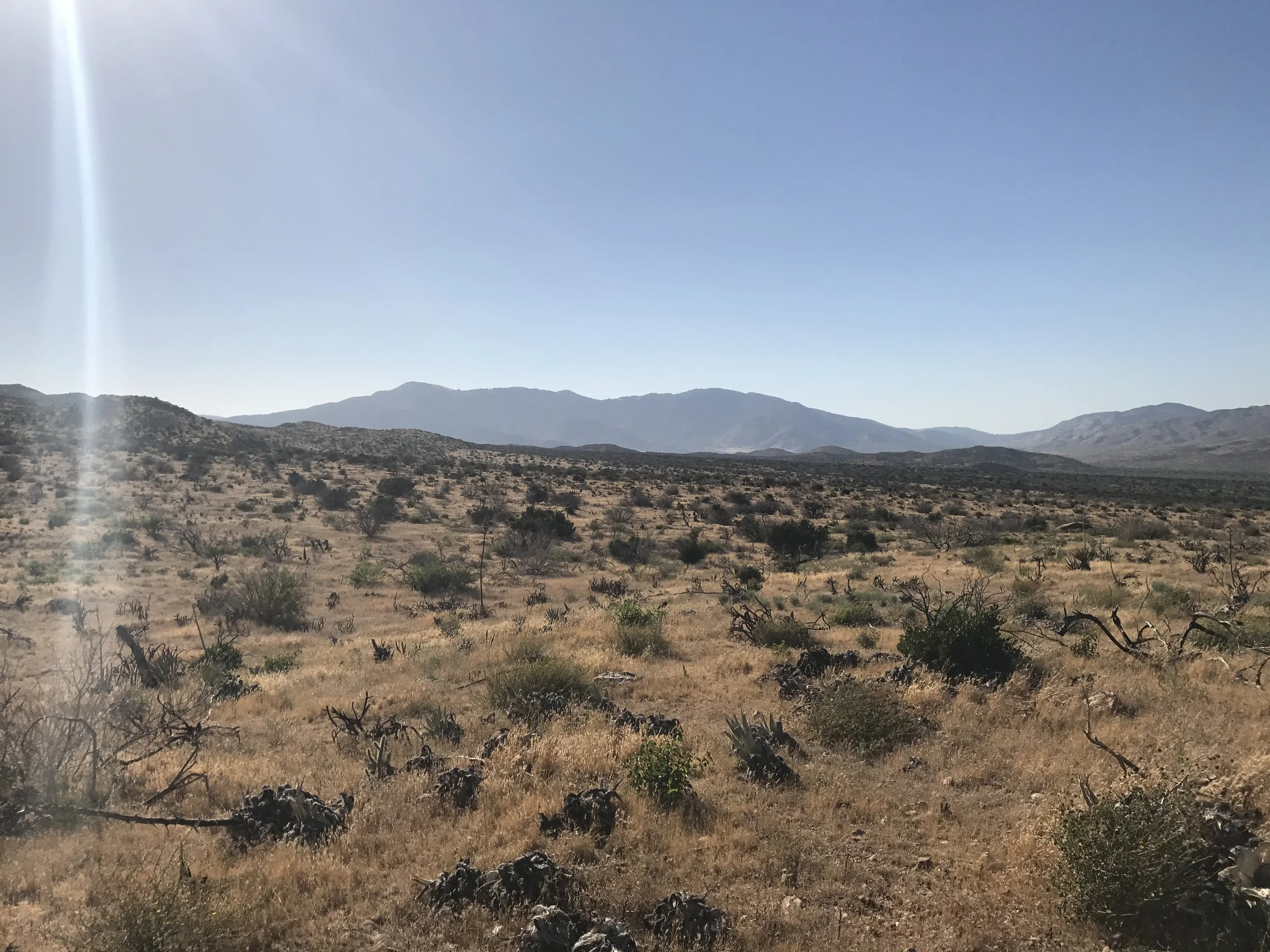
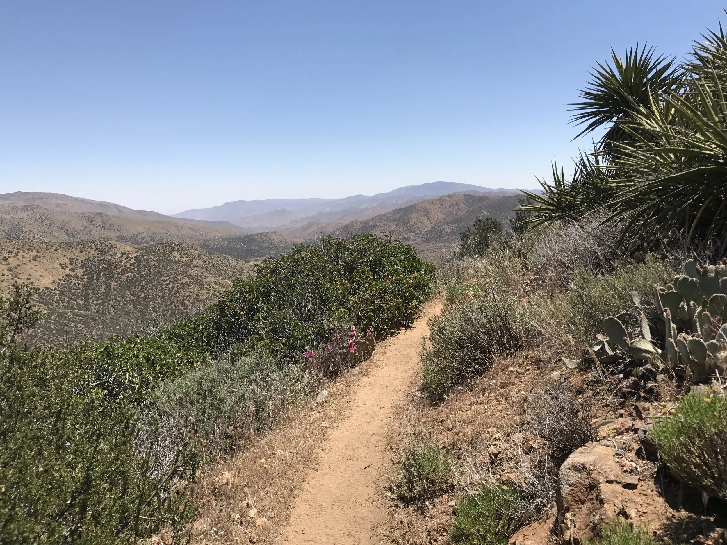
Desert hills
Military helicopter crash site
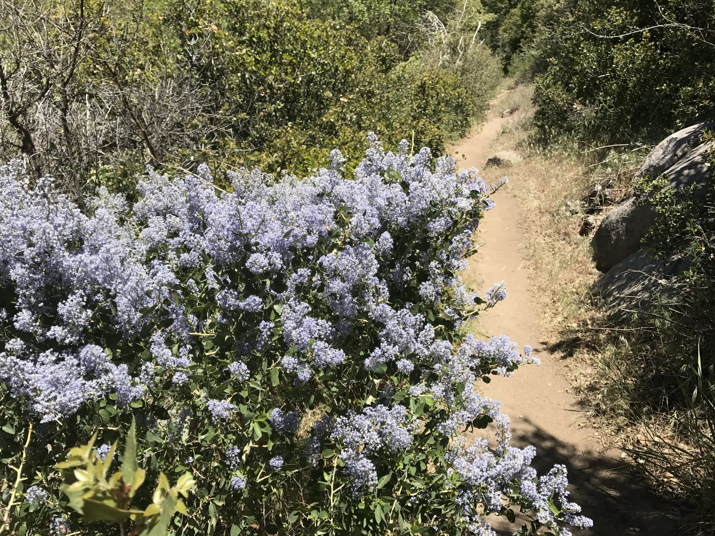
Desert flora
Pipe spring at Lower Morris Meadow makes a welcome stop for weary feet after 19 miles of walking
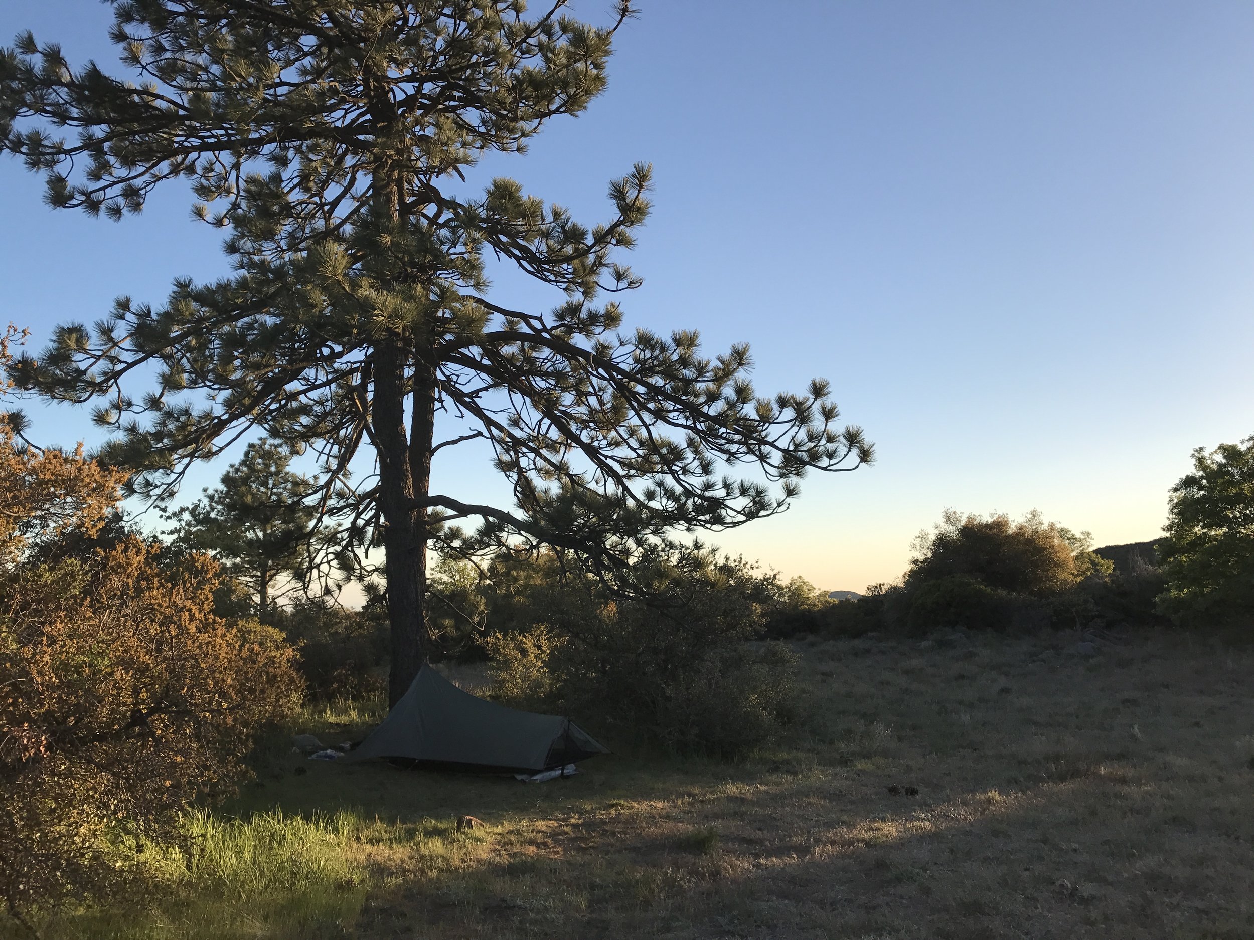
Solitary camp on Night 2
Day 3 - Lower Morris Meadow to Boulder Field camp via Mount Laguna - 17 miles
First light looking back south
Sunrise on Mount Laguna
Perks of waking up a 4 am to start hiking
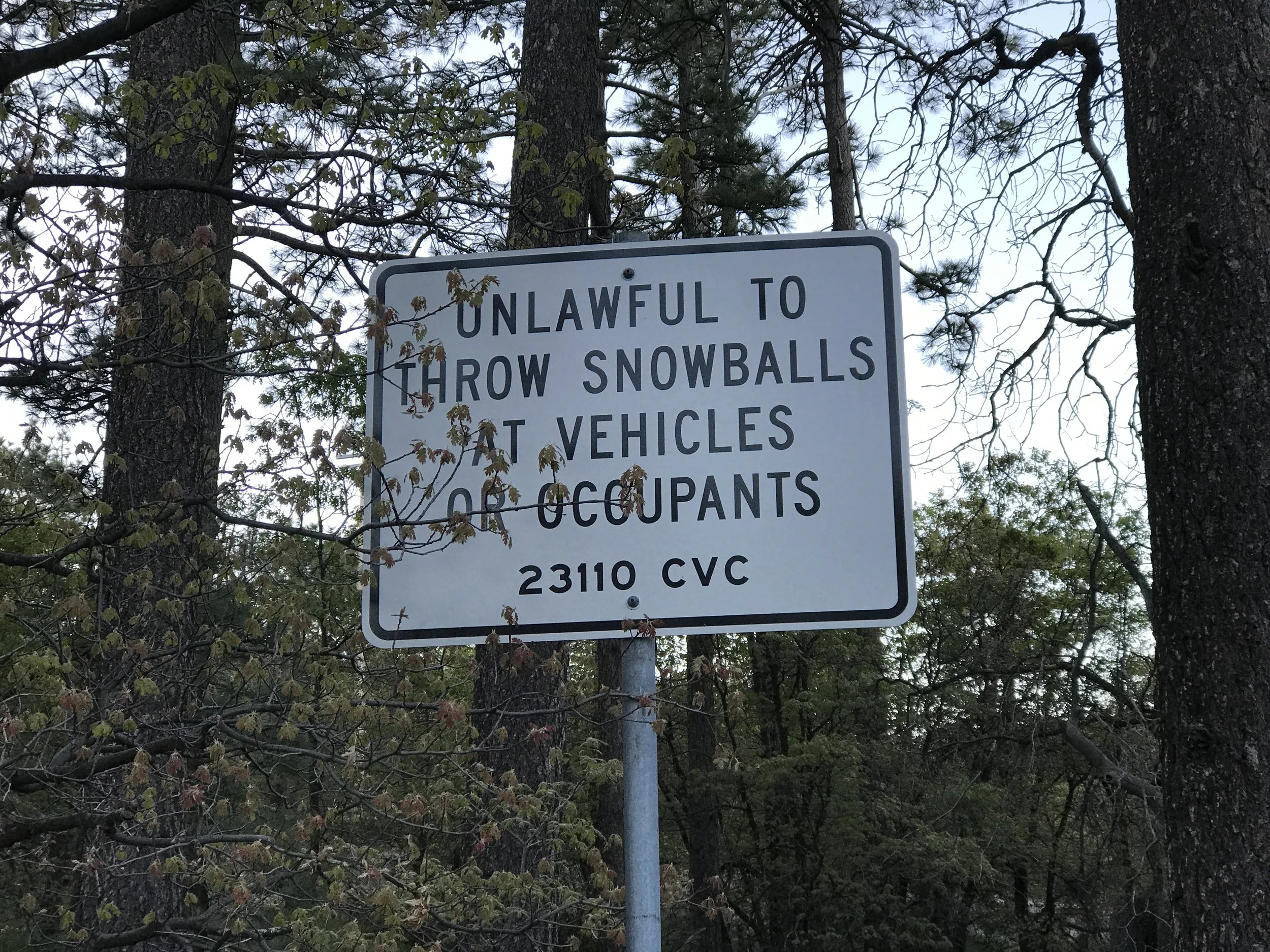
Apparently a problem here...
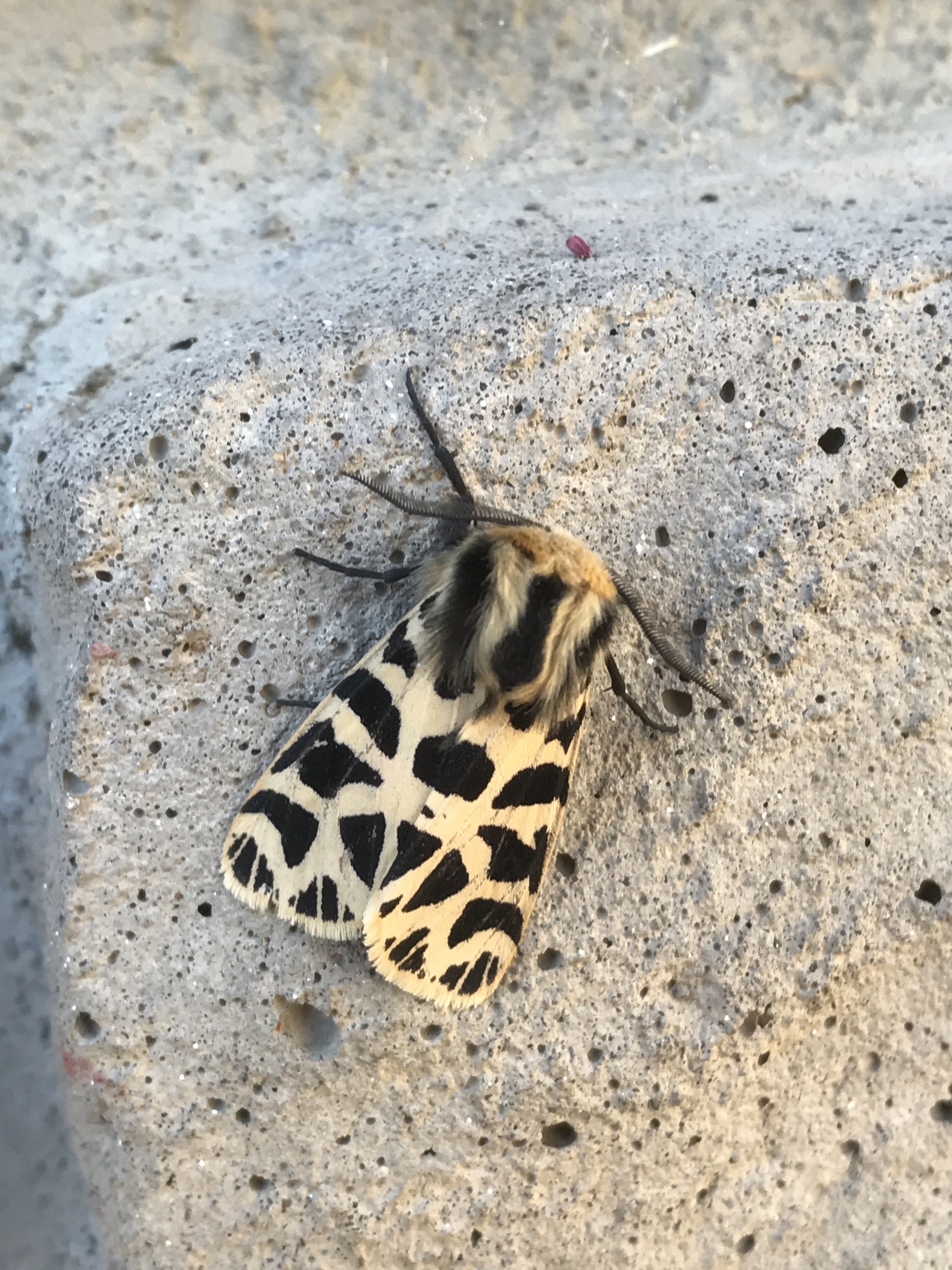
Mount Laguna local
Breakfast at Pine House!
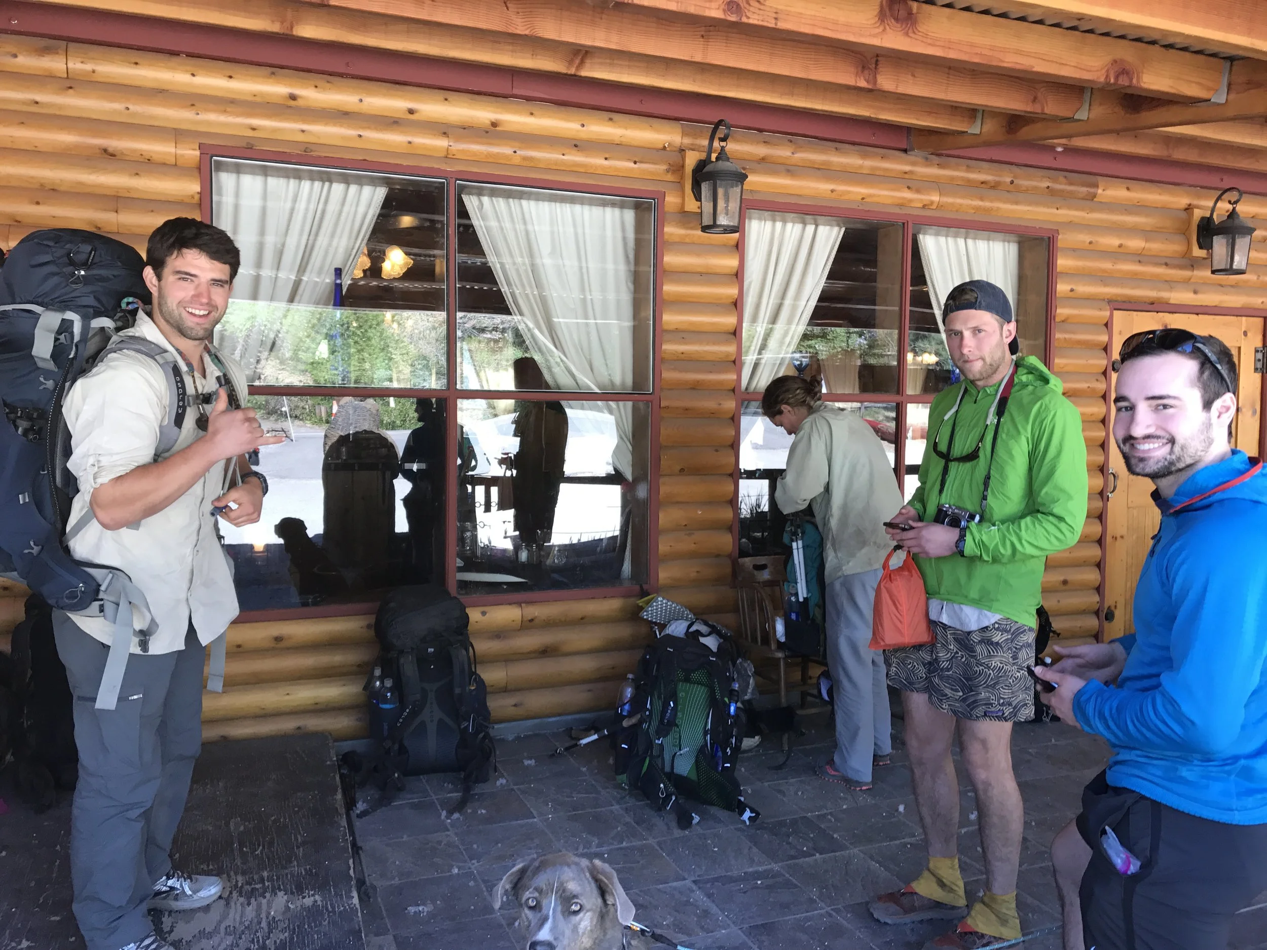
Hikers!!
From trees...
...to desert
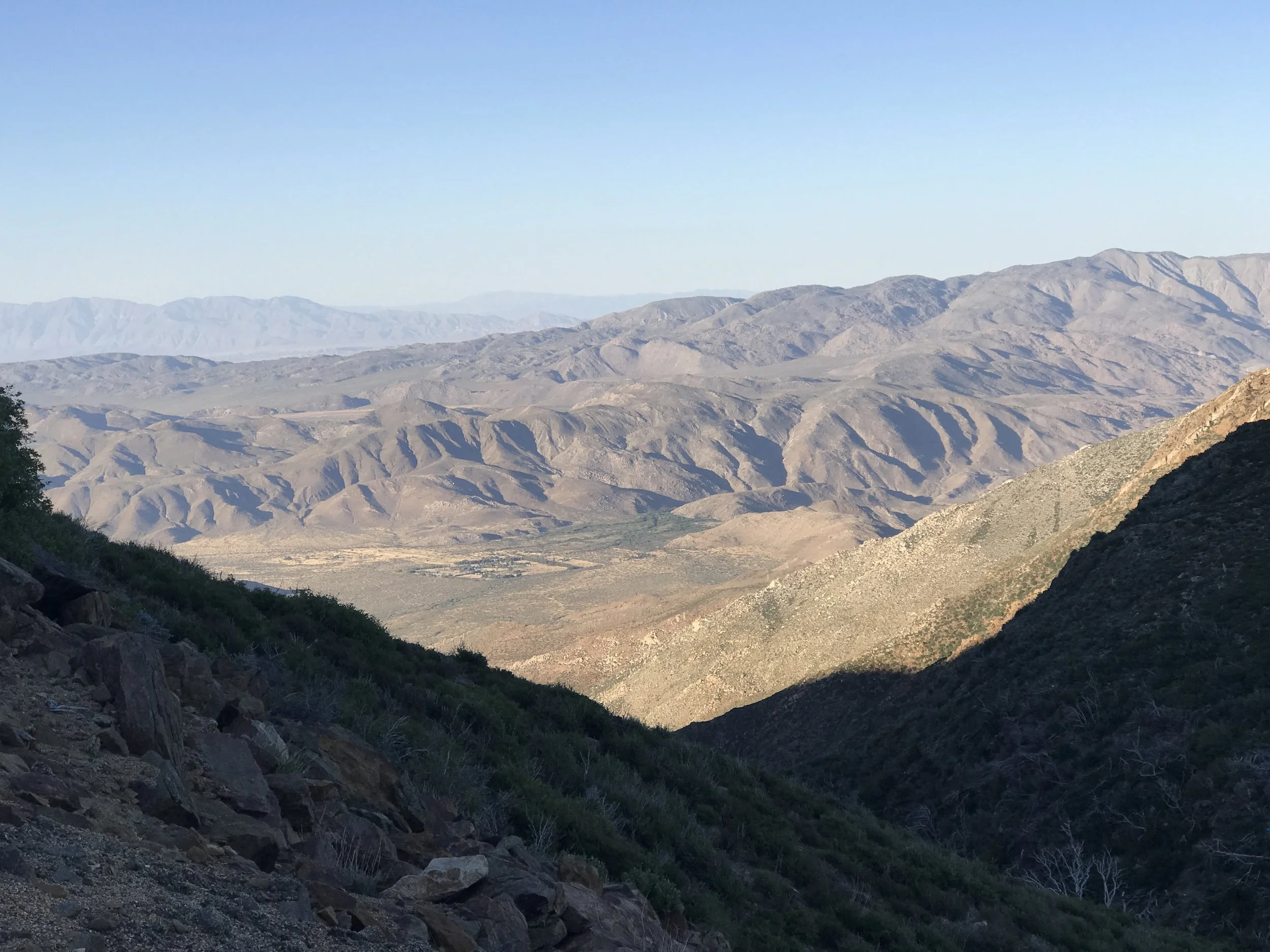
Anza-Borrego desert below
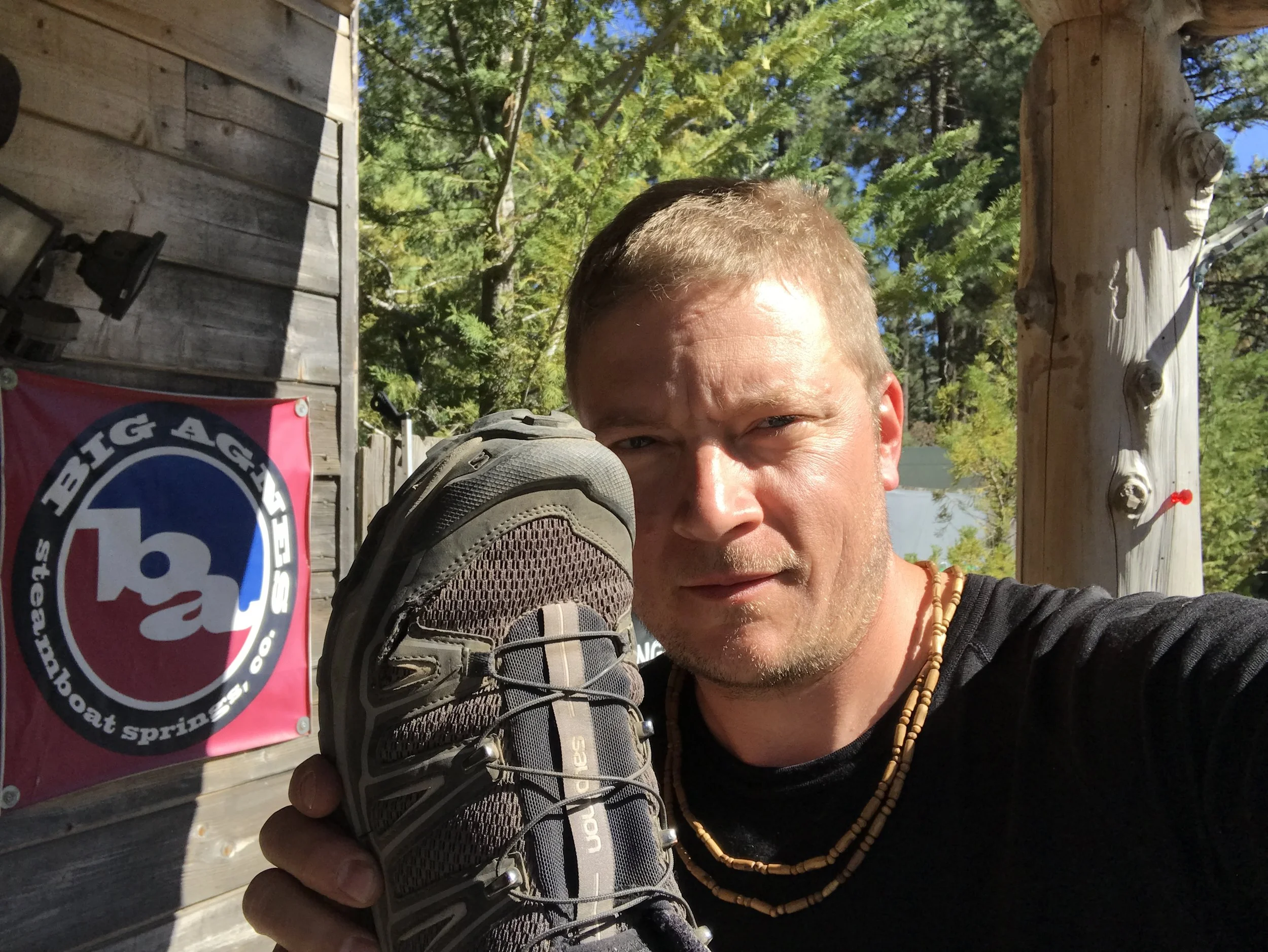
After hiking around 9 miles out of town with blisters growing increasingly painful, I decided I had to return to Mount Laguna Outfitter and buy a new pair of trail runner shoes with a much larger toe box. I called ahead to see if they had my size and proceeded to bushwhack through brush off trail to the highway which I could see down the hill from my position on the trail. Just before starting to the road I saw my first rattlesnake on the trail who had laid right beside the path and gave me no warning as I approached. He only moved after I took out my phone for a photo. Needless to say, this encounter made crawling through brush off trail a bit disconcerting. I got to the highway, managed to hitch a ride back to town and bought a new pair of shoes and socks and got one of the friendly shop employees to drop me back where I had gotten off trail.
Shoe that I sliced to desperately get more room for me toes
New kicks and I'm ready
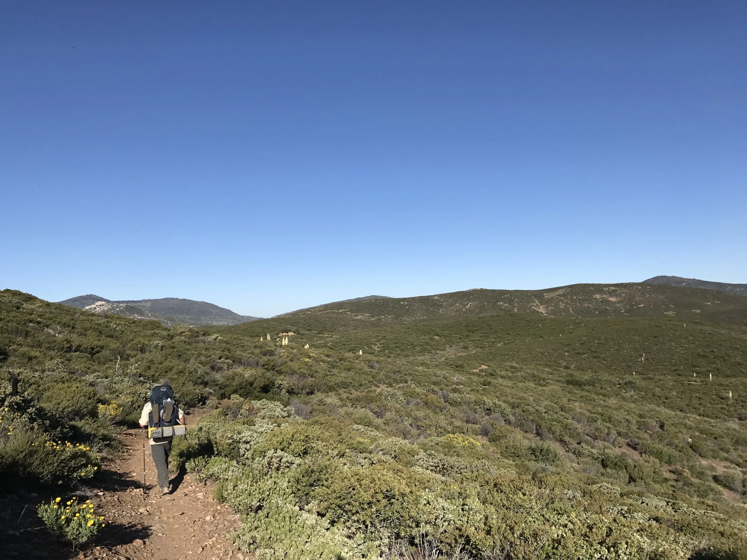
Happy to be back on trail and hoping the new shoes help
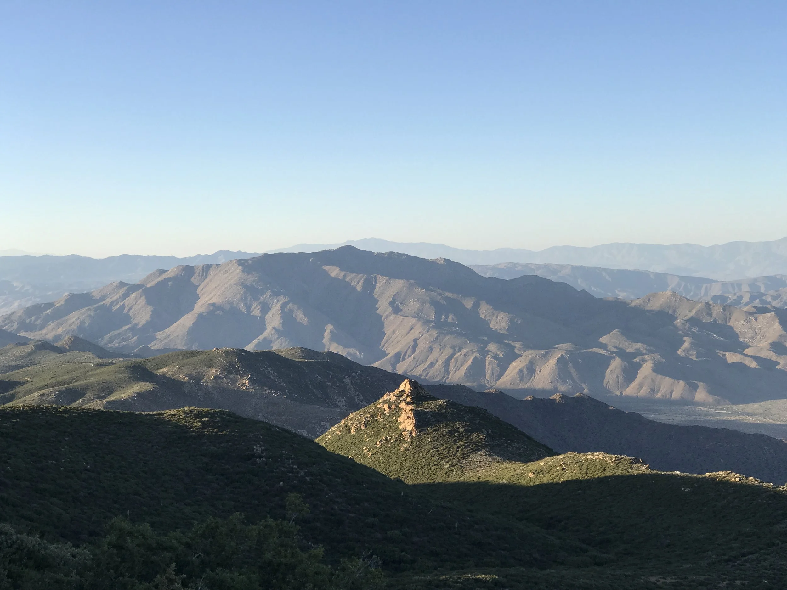
The view from the ridge
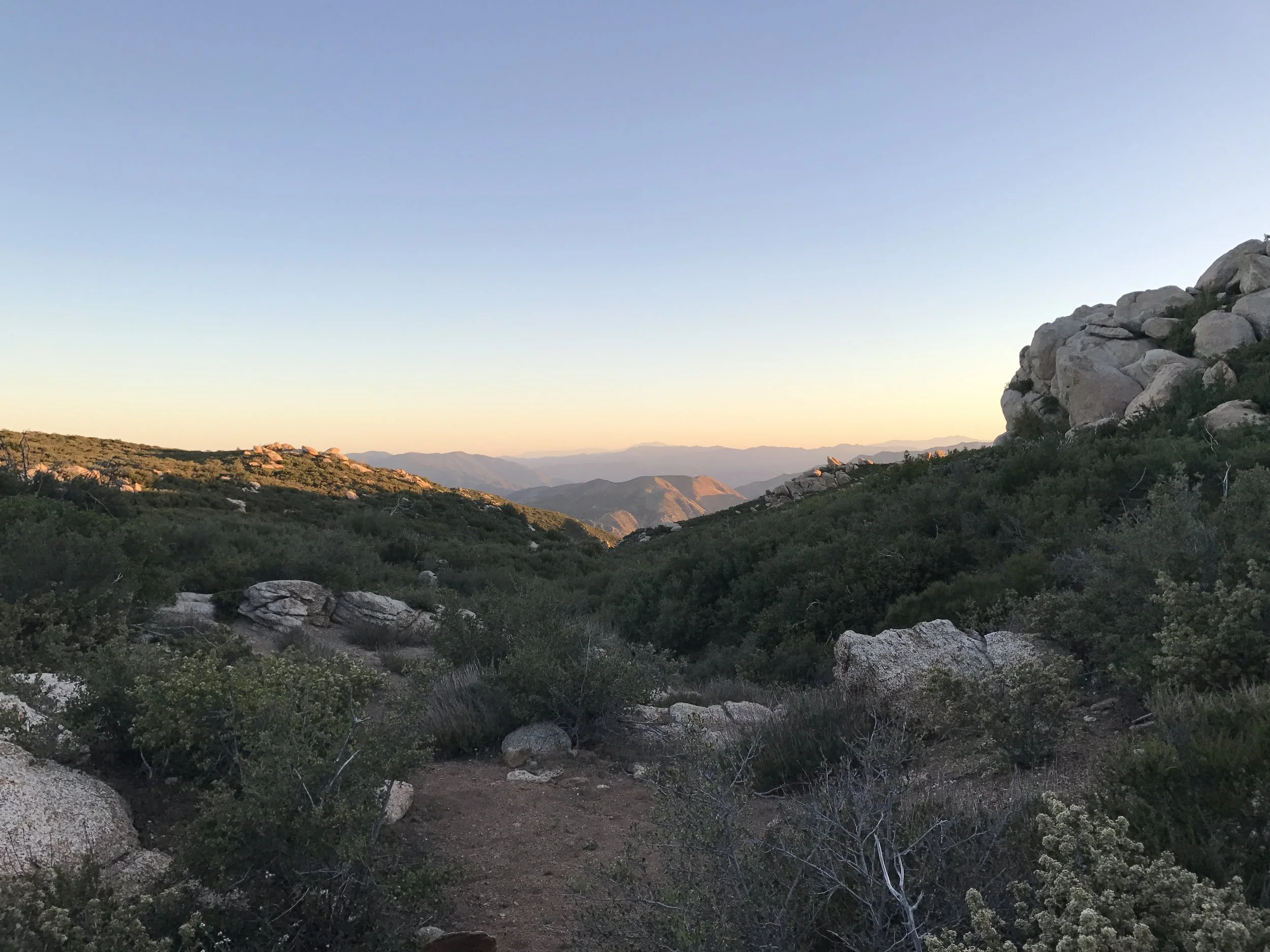
Golden Hour over the desert
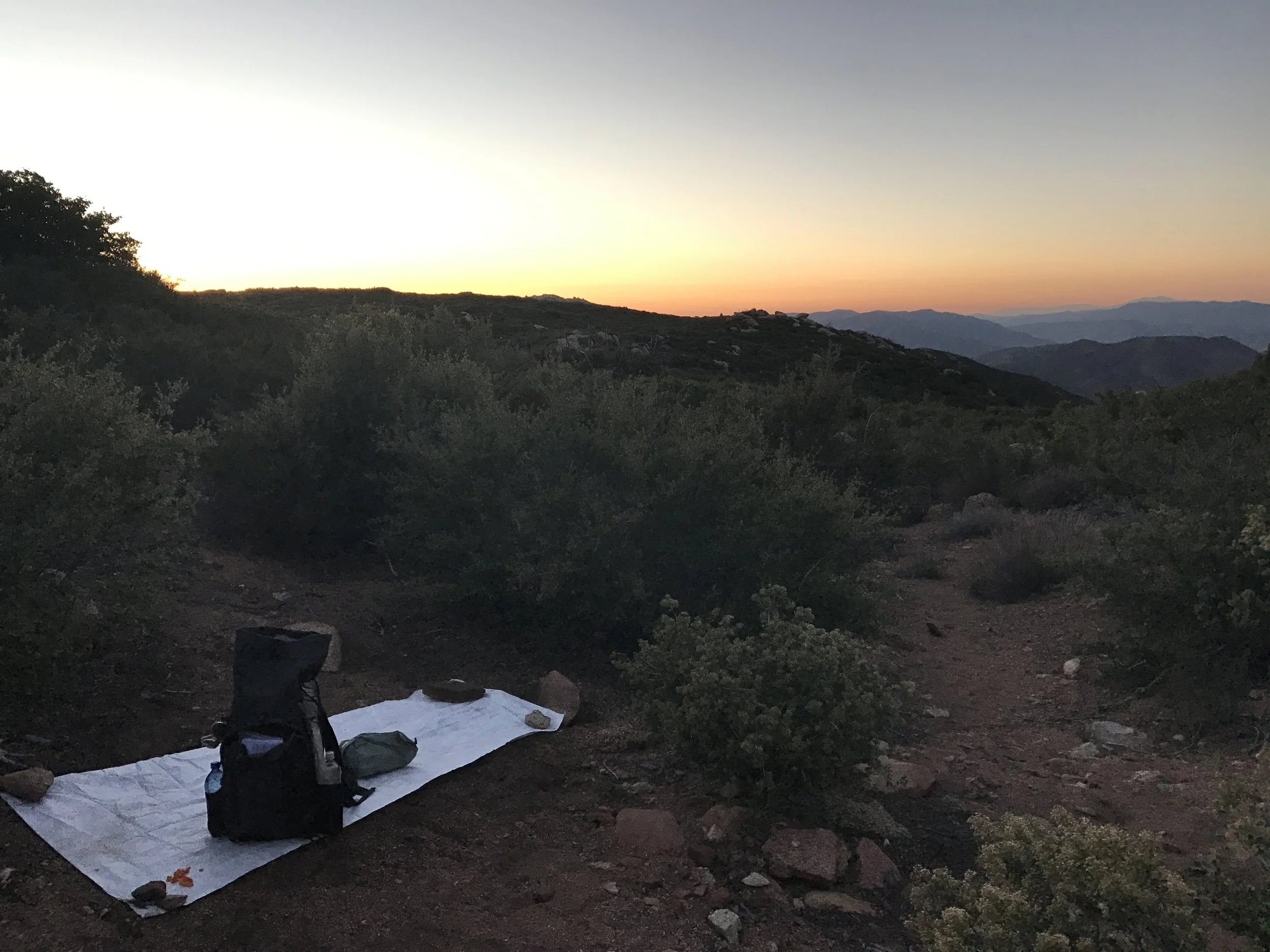
Cowboy camping on a boulder strewn ridge. Actually a chilly evening
Day 4 - Boulder Field to Scissors Crossing water cache - 23 miles
Sunrise from the ridge
Mike getting a strong start
Cactus blooms
Pipe spring 2 miles off trail but a life saver!
Beginning the afternoon hike...one of the hottest sections yet...10 miles on the desert floor
Stark and beautiful
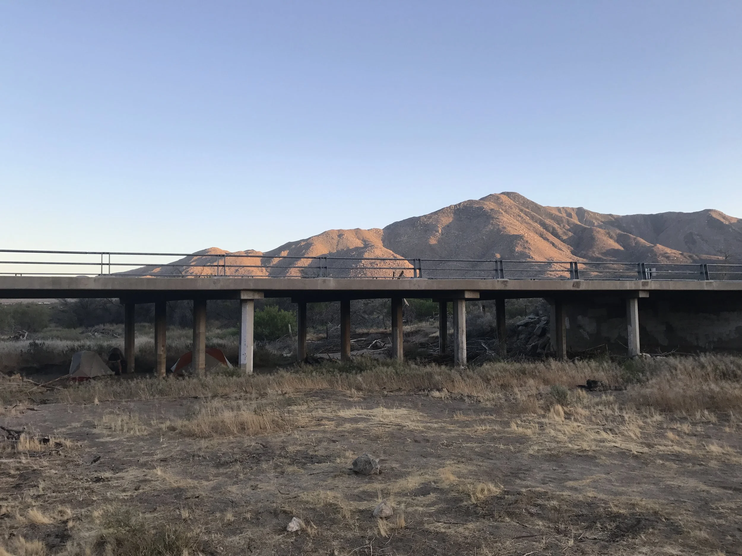
Scissors Crossing water cache under the bridge at mile 77. Another life saver in a 25 mile waterless stretch of desert stocked by volunteers to support thru-hikers. Thank you, trail angels!
Day 5 - Scissors Crossing to Barrel Spring - 25 mile of true desert hiking
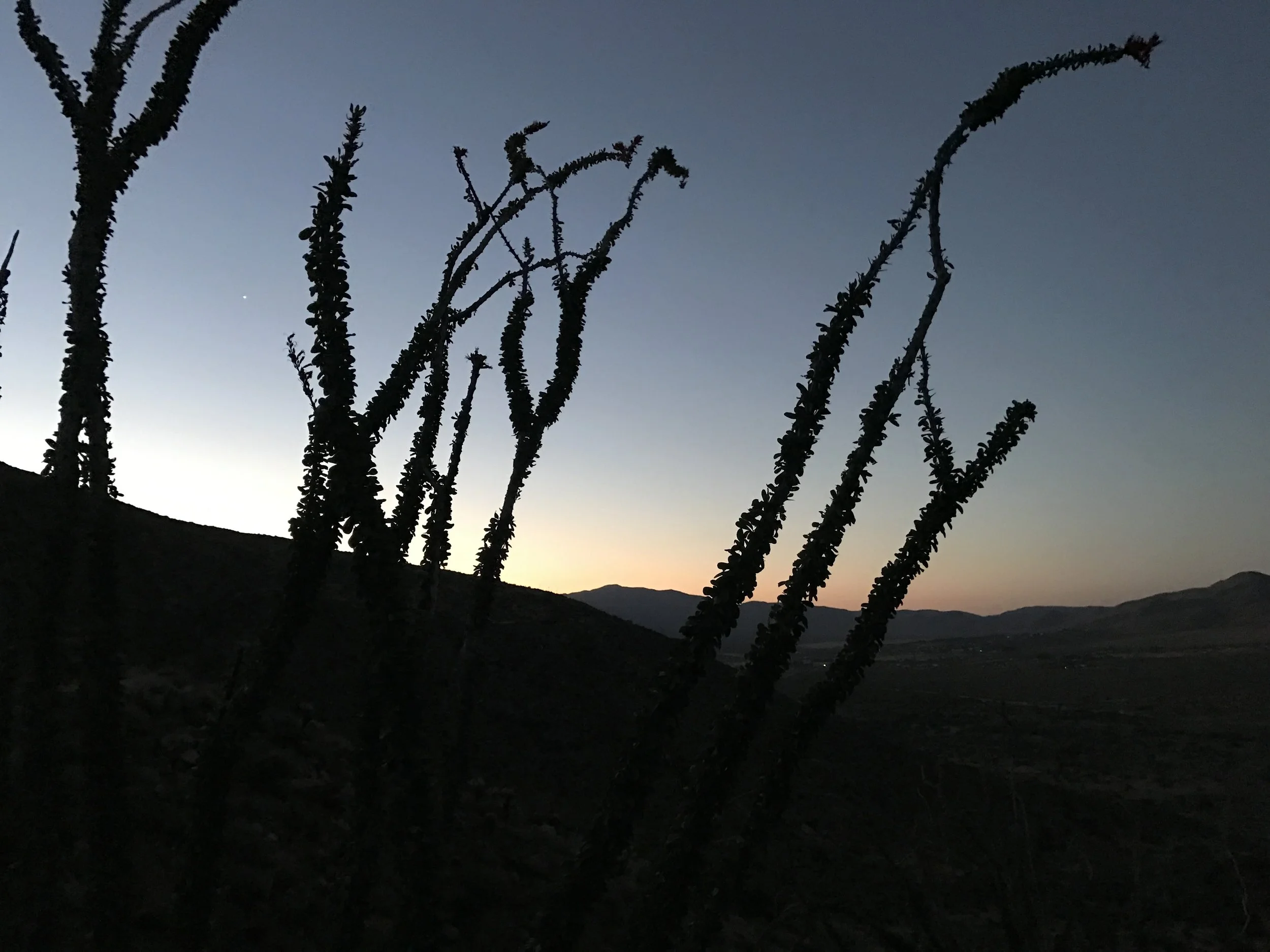
Ocotillo in the pre-dawn light
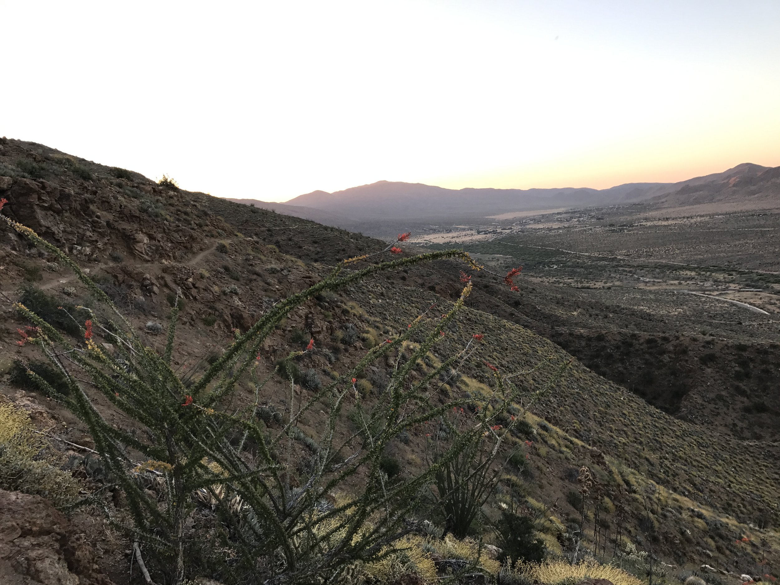
Looking down on the trail traveled
Ocotillo blooms at sunrise
I caught back up with Mike and Harry
Another vital water cache 15 miles into the day's hike
Making good use of sun umbrella
Hit 100 miles!
Regrouped with the 3 trail rockstars at the 100 mile marker!
Sunset at Barrel Spring
Day 6 - Barrel Spring to Warner Springs and out...a rest day so only 14 miles.
Sunrise on the trail. I've gotten really fond of pre-dawn hiking
Deer at dawn
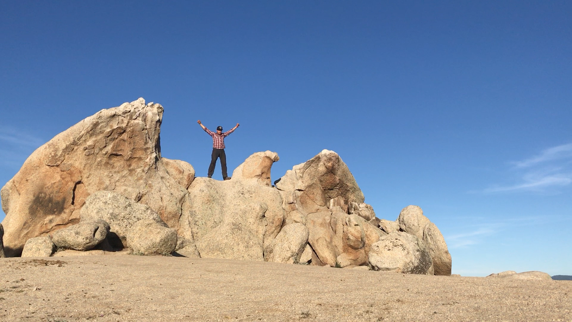
On top of Eagle Rock
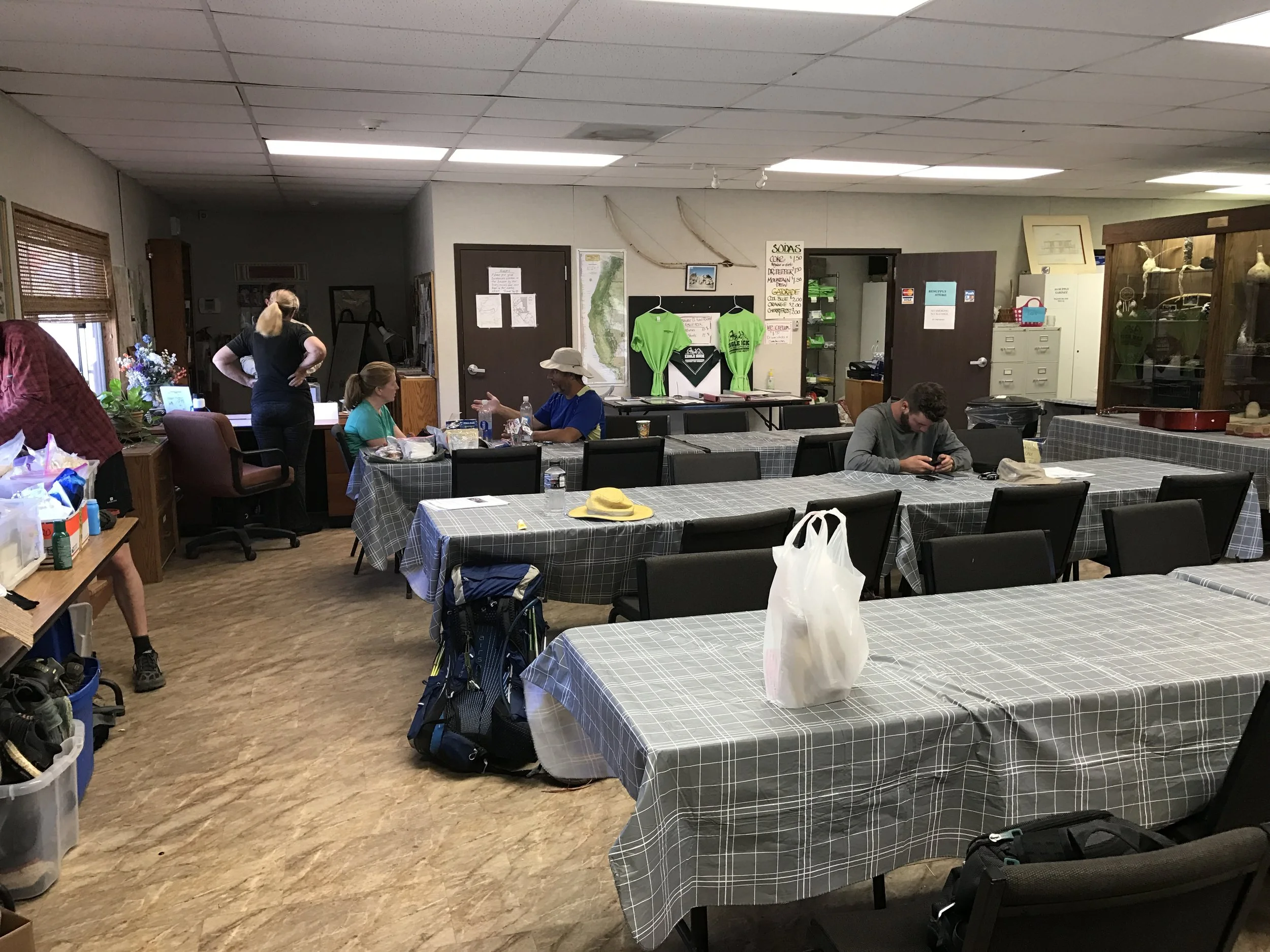
Warner Springs Resource Center. Bucket showers and laundry, wifi, snacks, camping area and more for hikers by the town's volunteers!
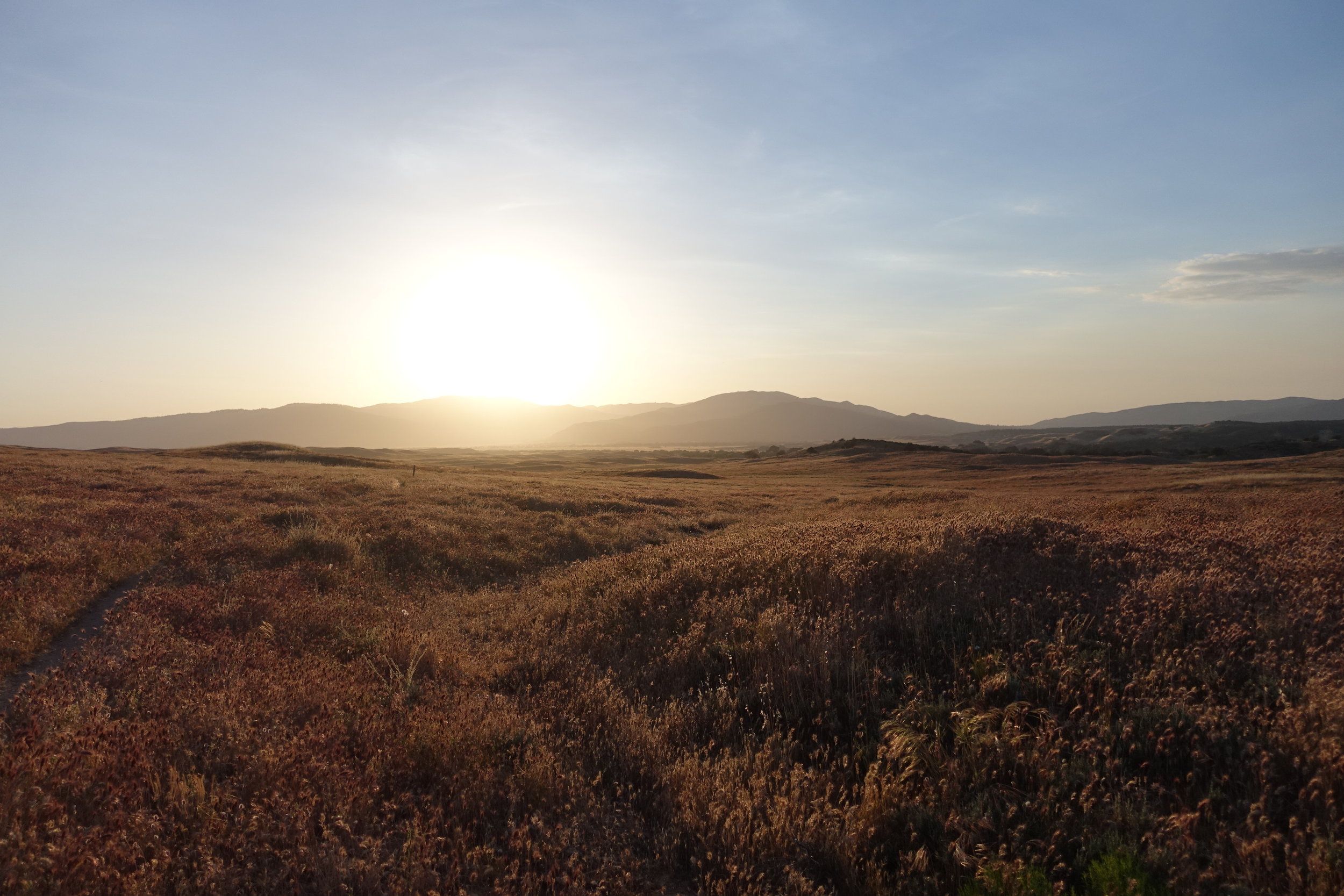
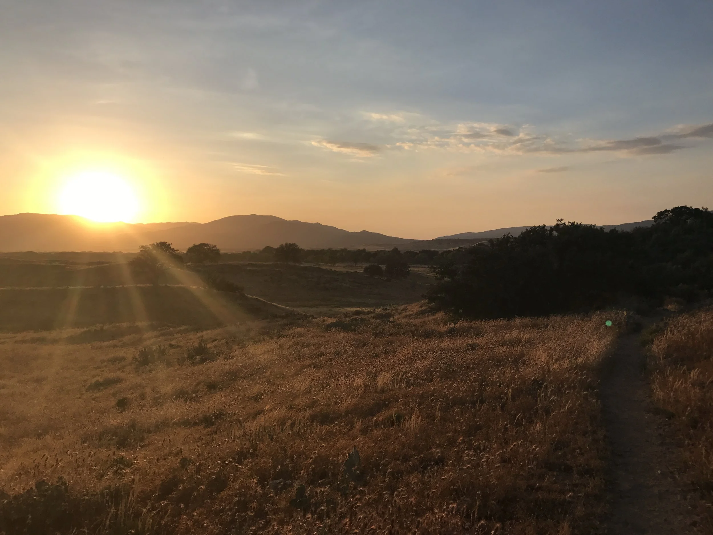
Headed out of Warner Springs at sunset for 2 hours of night hiking in cooler temps.
Seahorse grass...my name for it
Golden sunset
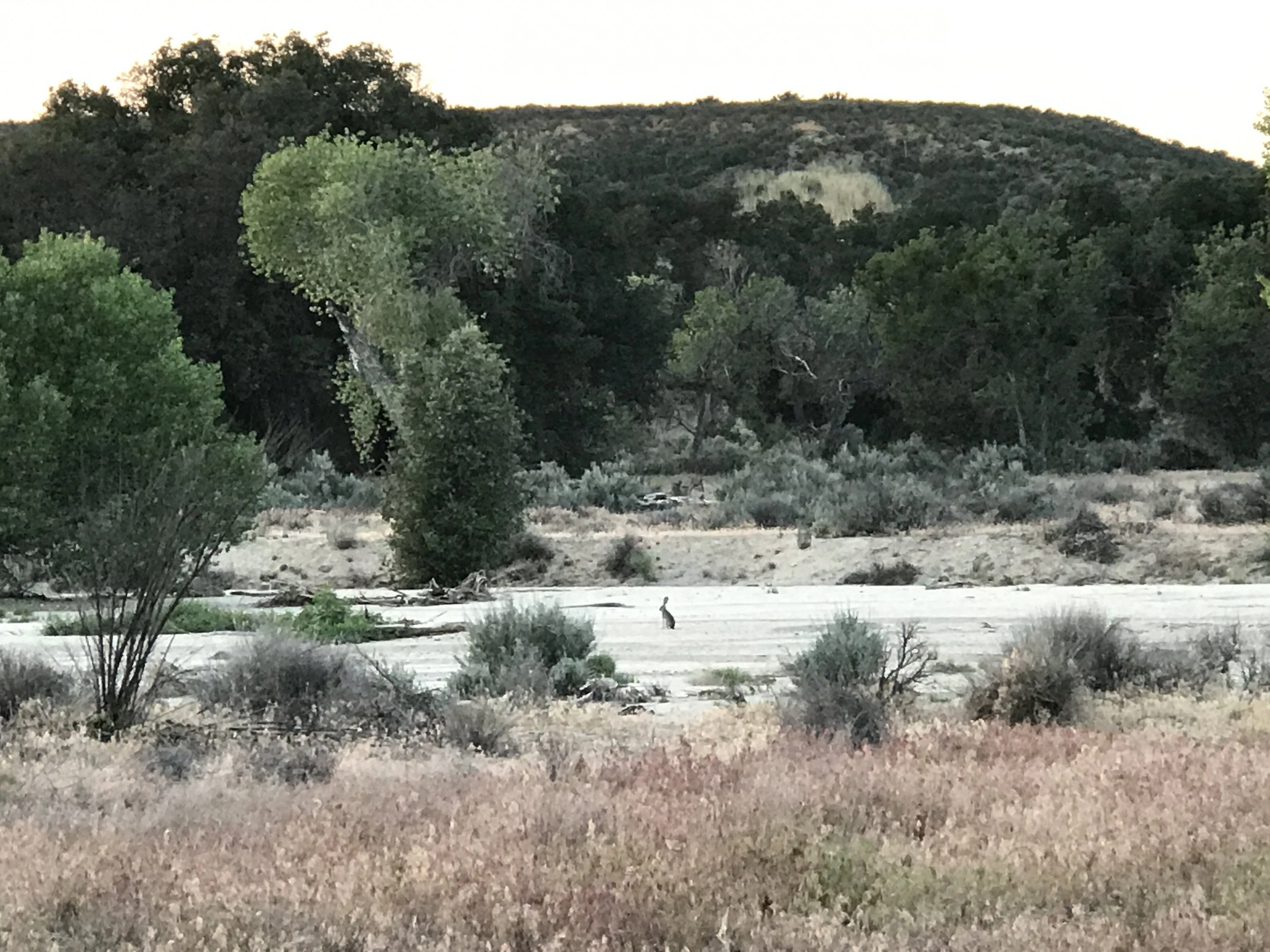
Jackrabbit
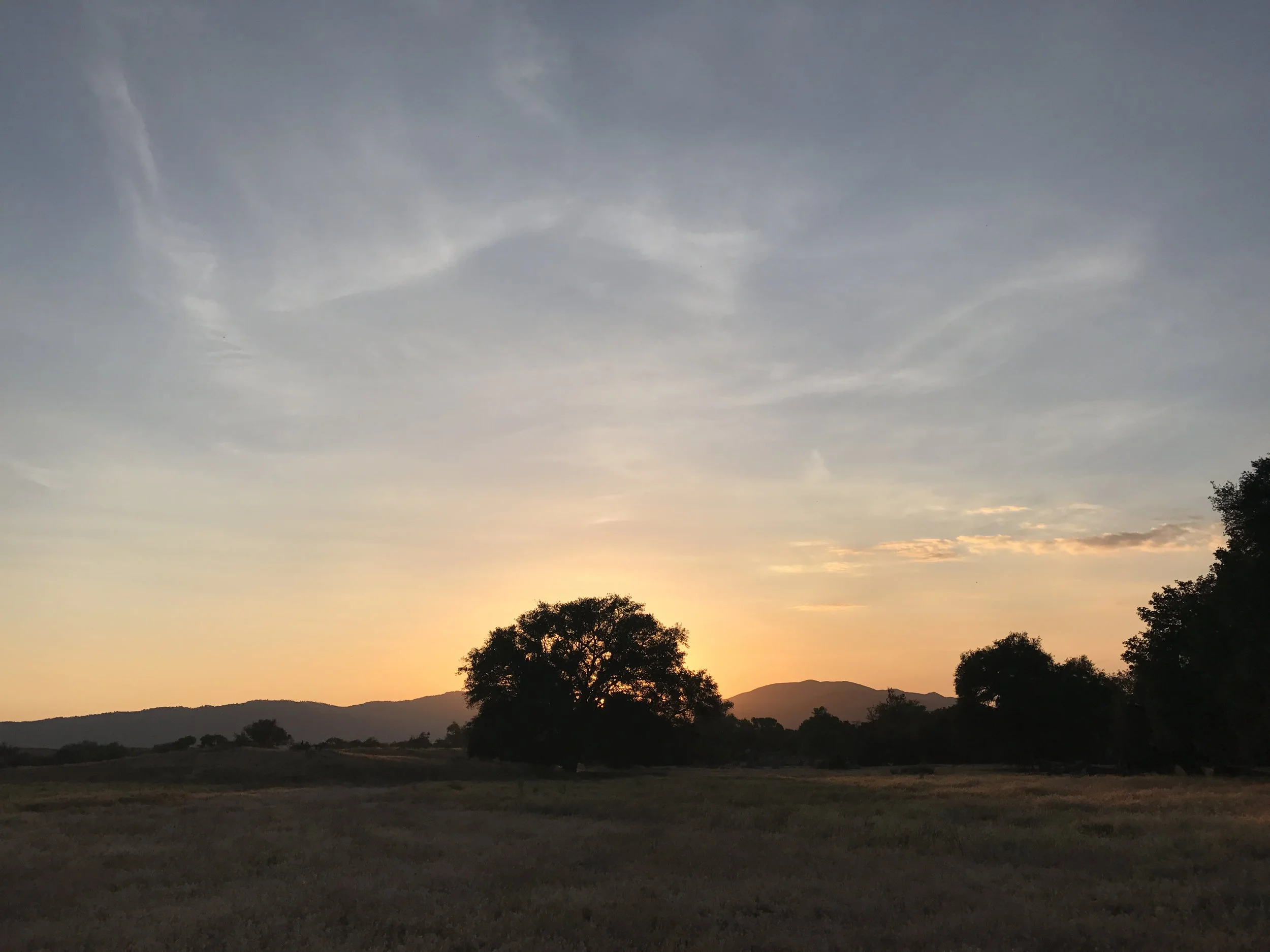
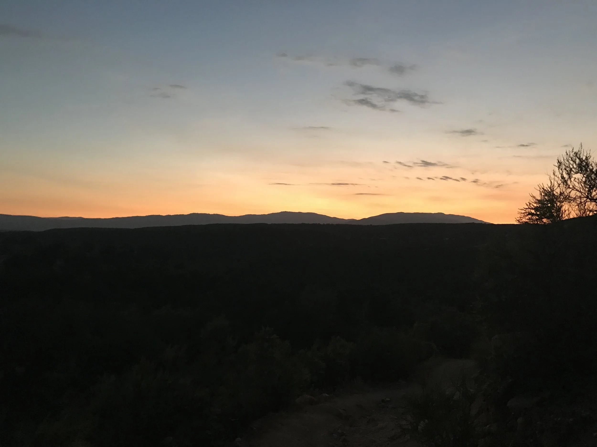
Last light

